What is recorded here
Half a kilometre from the Tolka, a grassy disc rises thirty metres across, its edge cut into the plateau like a knife through clay. People called it a fairy fort, perhaps because the shape defied reason or because the fairies refused to leave empty vessels behind. The scarps are steep enough to stop most cattle and the entrance faces the valley, suggesting human hands shaped the circle before folklore claimed it.
Located at the edge of a plateau on the S side of the valley of a NW-SE portion of the River Tolka which is c. 40m to the NE. This is a raised, circular and grass-covered platform (diam. of top 34.5m N-S; 31m E-W) defined by a scarp (at S: Wth 5.5m; H 1.8m; at N: Wth 7m; H 2.4m), with some trees growing on the edge N-E. The platform slopes down slightly to the N and there is no visible bank or fosse but the entrance ramp (Wth 4m) is at SE.
The above description is derived from the published 'Archaeological Inventory of County Meath' (Dublin: Stationery Office, 1987). In certain instances the entries have been revised and updated in the light of recent research.
Compiled by: Michael Moore
Date of upload: 10 July 2007
Amended: 22 November 2021
The monument record does not grant public access. Check the route and ask the landowner before entering private land.
- What survives
- Recorded monument
Places near here
 Regan's RathArchaeological place · 3 yd
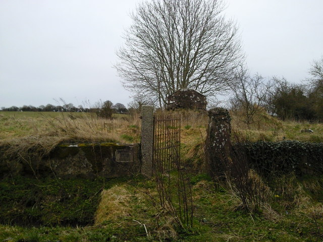 RuinChurch · 116 yd
 Mill HillArchaeological place · 489 yd
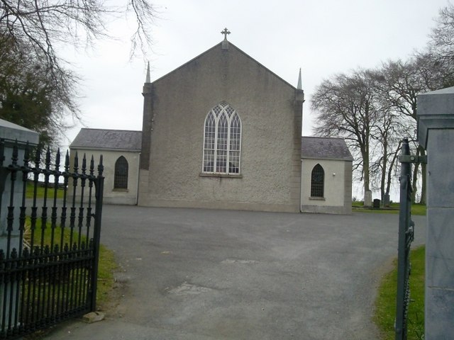 Catholic Church of the Assumptionchurch/chapel · 617 yd
 Lismahon 1798 MemorialMonument · 1.0 mi
 CastleCastle, motte · 1.8 mi
 Site of Old CastleCastle, unclassified · 2.0 mi
 1798 MemorialMemorial · 3.9 mi
 Caulstown Christmas Tree FarmForest · 4.3 mi
 MullaghMountain / peak · 4.3 mi
 Hanwood GardensHeritage attraction · 4.5 mi
 Ash HillMountain / peak · 4.8 mi