What is recorded here
Rathreagh More holds a thirty-metre earthen ring on a gentle slope, its broken bank still marking a boundary while cattle erase the rest. The name suggests fairies, but the shape suggests people: a shallow ditch, a level grassy centre, and a gap wide enough for an entrance. Whatever lived there stopped leaving sharp edges, yet the circle resisted forgetting. It is the kind of place where human hands and local story became indistinguishable before memory failed.
In pasture, on gentle SSE-facing slope, with marshy ground immediately to SSW. Roughly circular area (30.5m N-S; 28m E-W) enclosed by earthen bank with an external fosse. Bank (int. H 0.65m; ext. H 0.7m) is incorporated into field boundary SSE->SSW, and is eroded by cattle NNE->ESE. Break in bank (Wth 2.1m) at SW. Fosse (Wth 2m; D 0.5m) evident SW->SE, though barely perceptible SW->NNW. Level interior under pasture.
Compiled by: Denis Power
Date of upload: 26 August 2011
See attached ASI aerial photograph ASIAP – taken on 04/03/2006.
The monument record does not grant public access. Check the route and ask the landowner before entering private land.
- What survives
- Recorded monument
Places near here
 Church in Rathreagh MoreChurch · 691 yd
 St. Lukes WellHoly well · 893 yd
 St. Luke's WellSpring · 905 yd
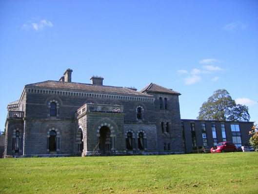 Cahermoyle Housecountry house, church/chapel · 1140 yd
 CahermoyleCastle, unclassified · 1338 yd
 KyleArchaeological place · 1503 yd
 St. Kieran's WellSpring · 1.2 mi
 Castle (in ruins)Castle, tower house · 1.5 mi
 European ashEuropean ash · 3.6 mi
 Limerick GreenwayWalking route · 5.9 mi
 Sugar HillMountain / peak · 7.6 mi
 Gammarel PointHeadland · 7.9 mi