What is recorded here
Nobody knows when the ring at Rathreagh More closed around itself, but its scarped edge and hidden ditch still mark a circular chamber atop the ridge. Cattle graze the level interior while a farm track bypasses the north, treating the ancient boundary as ordinary ground. The fort may have housed people, excluded invaders, or simply marked a place where the land remembered being shaped.
In pasture, atop N-S ridge. Circular area (42.8m N-S; 42.5m E-W) defined by scarped edge (H 0.35m; Wth 3.6m) with external fosse (D 0.05m; Wth 2m). At SSW scarp lowers (H 0.25m). Fosse, barely perceptible N->S, widens at NNW (Wth 7m). Level interior under pasture. A post-and-wire fence, on N-S axis, crosses interior close to E edge. A farm trackway runs immediately outside fosse at N.
Compiled by: Denis Power
Date of upload: 26 August 2011
The monument record does not grant public access. Check the route and ask the landowner before entering private land.
- What survives
- Recorded monument
Places near here
 St. Lukes WellHoly well · 382 yd
 St. Luke's WellSpring · 382 yd
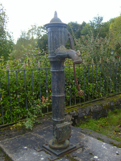 water pumpwater pump · 557 yd
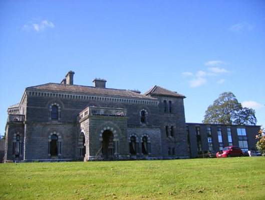 Cahermoyle Housecountry house, church/chapel · 632 yd
 KyleArchaeological place · 722 yd
 CahermoyleCastle, unclassified · 789 yd
 Castle (in ruins)Castle, tower house · 1.1 mi
 St. Kieran's WellSpring · 1.6 mi
 European ashEuropean ash · 4.1 mi
 Limerick GreenwayWalking route · 5.7 mi
 Sugar HillMountain / peak · 7.4 mi
 Gammarel PointHeadland · 7.6 mi