What is recorded here
Rathpalatine holds a circular earthwork twenty-eight metres across, marked by a scarped edge and shallow external fosse on a west-facing pasture slope. The interior remains level and clear, while a farm trackway skirts the western edge. People may have lived inside this simple ring before the land became pasture, but no named date or owner survives in the facts provided.
In pasture, on slight W-facing slope. Circular area (28m N-S; 26m E-W) defined by a scarped edge (H 0.3m; Wth 4m) with an external fosse (D 0.2m; Wth 1.2m). Farm trackway skirts site WNW->N. Interior level and clear of overgrowth.
Compiled by: Denis Power
Date of upload: 26 August 2011
The monument record does not grant public access. Check the route and ask the landowner before entering private land.
- What survives
- Recorded monument
Places near here
 Mound in Killeen (glenquin By.)Mound · 962 yd
 BarrowBarrow, ring-barrow · 1262 yd
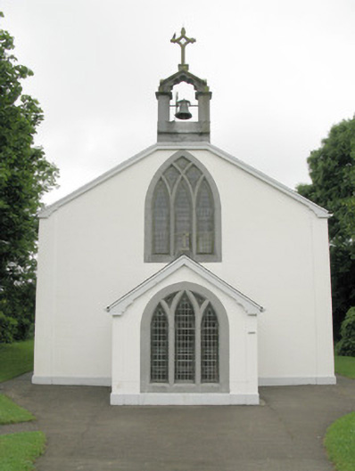 Catholic Church of Our Lady of Sorrowschurch/chapel · 1415 yd
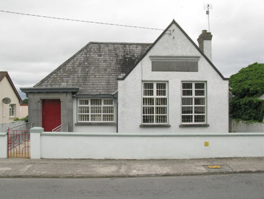 Broadford Carnegie Librarylibrary/archive · 1509 yd
 Castle (in ruins), Springfield CastleCastle, tower house · 1677 yd
 Glenduff CastleCastle, tower house · 2.3 mi
 ToberhoranSpring · 2.5 mi
 National Co-op MuseumMuseum · 3.2 mi
 ToberacappeenSpring · 3.2 mi
 Ballagh MountainMountain / peak · 4.4 mi
 Mullaghareirk - Banane LoopWalking route · 4.5 mi
 Rock HillMountain / peak · 6.6 mi