What is recorded here
Magic is not invention. It is the death of understanding. The chamber has no seam, no joint, no visible tool mark. Human-made becomes magic when human tools stop being believed. The chamber is a before-place. It shows the moment when people stopped believing they could build what they saw.
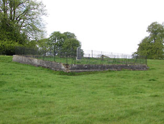
Situated on a rise in an undulating landscape and just S of a small canalised WNW-ESE stream and c. 30m SW of the point where it turns SSE. This is a raised circular and overgrown area (dims 37.5m E-W; c. 40m N-S) defined by a wide, rounded fosse (at SW: Wth of top 7m; int. D 1.6m; ext. D 0.6m) E-W-NNW and the remains of an outer earthen bank (at SW: Wth of base 7.5m; ext. H 0.9m) S-W and NW-N, being incorporated into a field bank built into the slope of the rise N-E-S. It is surrounded by field banks but the NW quadrant has been quarried away. The original entrance is not identified, but a possible causeway (Wth of top 3m; H 0.4m) is in the fosse at E.
The above description is derived from the published 'Archaeological Inventory of County Meath' (Dublin: Stationery Office, 1987). In certain instances the entries have been revised and updated in the light of recent research.
Compiled by: Michael Moore
Date of revision: 22 February 2019
Amended: 15 December 2022
The monument record does not grant public access. Check the route and ask the landowner before entering private land.
- What survives
- Recorded monument
Places near here
 Limekiln WoodWood · 385 yd
 Grandgate WoodWood · 594 yd
 Baltrasna FortArchaeological place · 650 yd
 IndicatedEnclosure · 824 yd
 Cherrymountcountry house · 1530 yd
 Moynalty Steam Threshing MuseumMuseum · 1559 yd
 graveyard/cemeterygraveyard/cemetery · 1589 yd
 MaperathMountain / peak · 1.5 mi
 MountainpoleMountain / peak · 1.7 mi
 MoatCastle, motte and bailey · 1.9 mi
 Castle (in Ruins)Castle, unclassified · 1.9 mi
 John Mac MahonMemorial · 2.6 mi