What is recorded here
Situated on gentle NW facing slope of rising ground with good views to the N. Ringfort (WM011-031----) 160m to SW. A sub-oval shaped enclosure (approx. diam. 30m N-S; 34m E-W) enclosed by a well preserved earthen bank and wide shallow external fosse with possible entrance gap (Wth 2.9m) at SE. The bank is best preserved from N-E & at WSW. Elsewhere, the bank is fragmentary and levelled in places. The fosse is visible at E. The perimeter of the monument has been quarried away at NE. The interior has a general slight slope from SW-NE and has vague traces of cultivation ridges running across the interior from NE-SW. A roadway intersects the site from E-S, and a field fence running NW-SE intersects the perimeter from S-WSW.
See attached profile of monument surveyed and drawn by the ASI.
Compiled by: Frank Coyne and Caimin O'Brien
Date of upload: 16 June 2017
The monument record does not grant public access. Check the route and ask the landowner before entering private land.
- What survives
- Recorded monument
Places near here
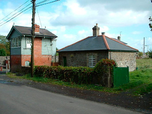 Multyfarnham Railway Stationworker's house · 482 yd
 Rathganny Houseoutbuilding · 529 yd
 CastleCastle, unclassified · 817 yd
 ConventEcclesiastical site · 1282 yd
 Bridge Memorial (Kenna)Memorial · 1411 yd
 Partially indicatedFairy fort / earthen ringfort · 1547 yd
 Carrick CastleCastle · 1.6 mi
 Scragh Bog Nature ReserveNature reserve · 3.3 mi
 Carrickphilbin IslandIslet · 3.6 mi
 Srudarra IslandIslet · 4.0 mi
 Lady's IslandWood · 4.3 mi
 Rock of CurryCliff · 8.4 mi