What is recorded here
Fairy forts in County Cork were once thought to be the dwellings of the fairies, but they were human ringforts. Rathfelane is no exception. Its earth bank still stands where it can, and the rest has been taken for pasture and fences. The fairies never lived there. People did, and they left a hole in the ground that imagination later filled.
In pasture. Arc E->S, formed by earthen bank atop scarp (int. H 1.5m; ext. H 3m). Remainder of enclosure erased and interior intersected by modern fences which cut off northern portion. Hachured on 1842 OS 6-inch map as oval platform (c. 40m SW-NE; c. 22m NW-SE); on 1903 and 1943 OS 6-inch maps arc E->S hachured, enclosure indicated as field fences to SW and N. Hartnett (1939, 250) described SE quadrant as raised platform (H 5ft). He also noted 'trace of bank' (ibid., fig. XLIII.3) which appears to lie to N of N edge of enclosure as depicted on 1842 OS 6-inch map.
The above description is derived from the published 'Archaeological Inventory of County Cork. Volume 3: Mid Cork' (Dublin: Stationery Office, 1997). In certain instances the entries have been revised and updated in the light of recent research.
Date of upload/revision: 14 January 2009
The monument record does not grant public access. Check the route and ask the landowner before entering private land.
- What survives
- Recorded monument
Places near here
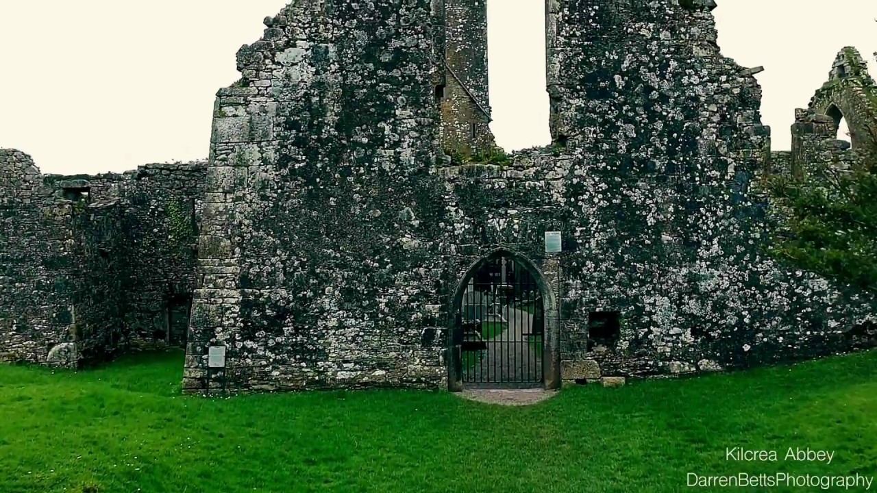 Kilbrenan Abbey (in Ruins)Religious house, unclassified · 956 yd
 Fulacht FianFulacht fia · 1172 yd
 TobernacullaHoly well · 1187 yd
 Garranes Housecountry house · 1698 yd
 Castlemore CastleCastle · 1.9 mi
 Pedunculate OakPedunculate Oak · 2.0 mi
 Clodah CastleCastle · 2.5 mi
 Mount Pleasant WoodWood · 2.8 mi
 Michael Collins MemorialMemorial · 3.3 mi
 Graveyard in KilnagnadyGraveyard · 3.5 mi
 Sunday's WellSpring · 4.1 mi
 Independence MuseumMuseum · 4.3 mi