What is recorded here
Situated on the N side of a rise, in pasture with good views to N, E and SW. Depicted on the 1837 ed. OS 6-inch map as an oval-shaped earthwork. Depicted on the revised 1913 ed. OS 25-inch map as a modified suboval-shaped earthwork.
Levelled monument described in 1984 as a ploughed out circular-shaped area (diam. 41.5m) defined by a backfilled fosse appearing as a rich green band of differential growth around the perimeter. The remains of an arc of levelled inner bank (Wth 4m; H 0.35m) are visible from SW-W-WNW. The original entranceway is not recognisable. The interior has a gentle N-facing slope. Levelled monument is visible today as a dark-green suboval-shaped area of differential growth on Digital Globe aerial photography.
Compiled by: Alison McQueen, Vera Rahilly and Caimin O’Brien
Date of upload: 18 February 2019
The monument record does not grant public access. Check the route and ask the landowner before entering private land.
- What survives
- Recorded monument
Places near here
 EnclosureEnclosure, large enclosure · 778 yd
 IndicatedFairy fort / earthen ringfort · 1041 yd
 Site of CastleCastle, unclassified · 1.0 mi
 Church (in Ruins)Church · 1.0 mi
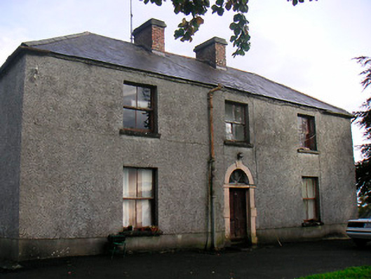 Newgrove Housefarm house · 1.0 mi
 CastleCastle, unclassified · 2.0 mi
 Long PlantingForest · 2.3 mi
 Saint Brigid's WellSpring · 3.0 mi
 United Nations War MemorialMemorial · 3.2 mi
 Famine MemorialMemorial · 3.4 mi
 Scragh Bog Nature ReserveNature reserve · 3.7 mi
 Church IslandIsland · 3.9 mi