What is recorded here
Situated on a natural rise in flat grassland, now enclosed within a modern forestry plantation. An oval shaped area (approx. diam. 35m N-S; 25m E-W) enclosed by two earthen banks and an intervening fosse. The inner bank is very poorly preserved, reduced to little more than a scarp. The fosse is shallow, and the outer bank is low and poorly preserved; both are only visible from NW-NE. The interior slopes from NW-SE. A post-1700 field fence running E-W intersects the S perimeter of the site.
Compiled by: Frank Coyne and Caimin O'Brien
Date of upload: 13 February 2018
The monument record does not grant public access. Check the route and ask the landowner before entering private land.
- What survives
- Recorded monument
Places near here
 Church (in Ruins)Church · 1503 yd
 IndicatedFairy fort / earthen ringfort · 1566 yd
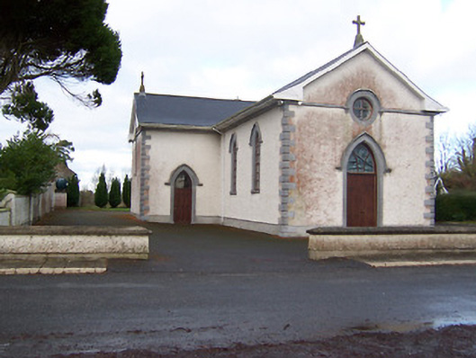 Saint Patrick's Catholic Churchchurch/chapel · 1572 yd
 OutlinedFairy fort / earthen ringfort · 1.2 mi
 Sessile OakSessile Oak · 1.3 mi
 Site of CastleCastle, unclassified · 1.7 mi
 Abbeyshrule AbbeyRuins · 2.4 mi
 Common LimeCommon Lime · 2.4 mi
 Craft WorkshopHeritage attraction · 3.5 mi
 Guest ServicesVisitor information · 3.6 mi
 Goldsmith Birthplace, PallasVisitor information · 3.7 mi
 Bawn in EmperBawn · 3.9 mi