What is recorded here
Two concentric earthen banks still enclose a level pasture in Rathcahill East, marking a D-shaped fort roughly fifty metres wide. A causeway entrance remains at the north-east, but cattle have broken through the south-west bank, proving the stones cannot stop local life. The straight western edge and rounded outer curve suggest human hands shaped the soil before forgetting what the place was for.
In pasture, on E-facing slope. Roughly D-shaped area (44m N-S; 50m E-W) enclosed by two concentric earthen banks with intermediate fosse (Wth 5.2m). Inner bank (int. H 0.4m; ext. H 2.8m) in very straight on W side though external bank (int. H 1.85m; ext. H 1.35m) is more rounded. Causeway entrance at NNE (Wth 4m). Gap (Wth 5m) in both bank at SSW probably caused by cattle accessing interior. Level interior under pasture.
Compiled by: Denis Power
Date of upload: 26 August 2011
The monument record does not grant public access. Check the route and ask the landowner before entering private land.
- What survives
- Recorded monument
Places near here
 Enclosure in Ballymurragh EastEnclosure · 1492 yd
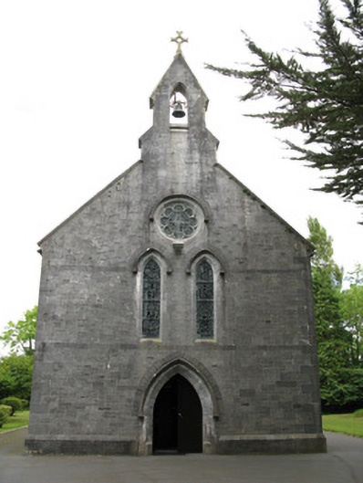 Saint Mary's Catholic Churchchurch/chapel · 1561 yd
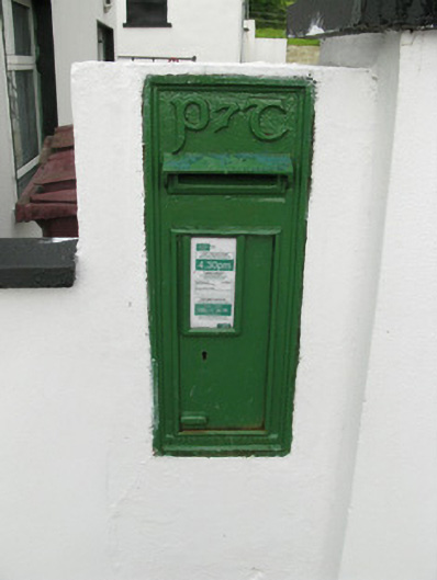 post boxpost box · 1595 yd
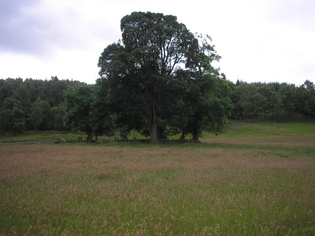 Burial GroundGraveyard · 1692 yd
 Glenquin CastleCastle · 1.9 mi
 Dotted outlineBawn · 2.4 mi
 Saint Ite's WellSpring · 2.5 mi
 TobereenalaffinaSpring · 2.9 mi
 Sugar HillMountain / peak · 3.1 mi
 Limerick GreenwayWalking route · 3.4 mi
 Ballagh MountainMountain / peak · 3.4 mi
 Mullaghareirk - Banane LoopWalking route · 7.3 mi