What is recorded here
That is the best evidence of a ringfort, because it is the largest and best preserved in the demesne. It stands fifteen metres south of Rathangan House, waiting for the man who first saw the flat circle and imagined the life inside. The earth kept the shape long after the people left it, which means the circle was strong enough to resist every storm and every forgetful hand.
Situated in grassland, 150m S of Rathangan House on Rathangan Demesne in area of woodland on the 1838 ed. OS 6-inch map. Cropmark of circular enclosure (approx. diam. 37m) with possible entrance gap at E clearly visible on Google Earth aerial imagery taken 28/06/2018.
See attached Google Earth image showing enclosure provided by Anthony Murphy
Compiled by: Caimin O'Brien based on details kindly provided by Anthony Murphy
Date of upload: 18 February 2019
The monument record does not grant public access. Check the route and ask the landowner before entering private land.
- What survives
- Recorded monument
Places near here
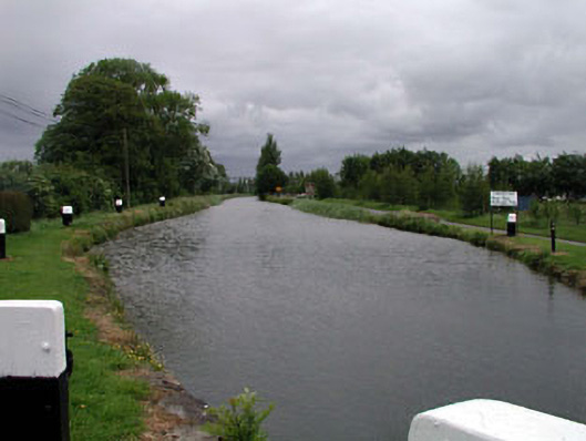 canal (section of)canal (section of) · 637 yd
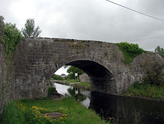 Rathangan Bridgebridge · 637 yd
 Enclosure in Rathangan DemesneEnclosure · 754 yd
 Bithia Mary CrokerMemorial · 1013 yd
 Site of CastleCastle, tower house · 1042 yd
 An Rath Ring FortArchaeological place · 1184 yd
 Community OrchardNature reserve · 1404 yd
 Offaly CastleCastle, tower house · 1606 yd
 Killinthomas Wood (Rathangan)Wood · 1.9 mi
 The Fairy BowerHeritage attraction · 4.2 mi
 Lullymore Heritage ParkHeritage attraction · 4.2 mi
 Sli na Slainte - mapVisitor information · 5.0 mi