What is recorded here
Revarney, a Rath marked on Rocque's 1760 map, once rose as a circular platform with a low bank inside Rathangan Demesne. Farmers likely lived there before ploughs and pasture erased the earthworks. The fort vanished not through disaster but through the slow hunger of agriculture, which devours memory as readily as flesh.
Fitzgerald (1906-8, 160) mentions that, 'a Rath called "Revarney"' is shown on Rocque's 1760 map of the Manor of Rathangan. Described in 1955 as a circular platform defined by a low bank, of which no visible surface trace survived in 1985 (SMR file). On level, improved pasture.
Compiled by: Gearóid Conroy
Date of upload: 10 June 2011
The monument record does not grant public access. Check the route and ask the landowner before entering private land.
- What survives
- Recorded monument
Places near here
 Enclosure in Rathangan DemesneEnclosure · 599 yd
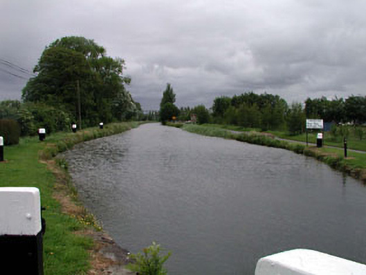 canal (section of)canal (section of) · 823 yd
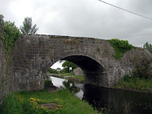 Rathangan Bridgebridge · 823 yd
 Bithia Mary CrokerMemorial · 1213 yd
 Site of CastleCastle, tower house · 1235 yd
 An Rath Ring FortArchaeological place · 1383 yd
 Community OrchardNature reserve · 1597 yd
 Offaly CastleCastle, tower house · 1630 yd
 Killinthomas Wood (Rathangan)Wood · 2.0 mi
 The Fairy BowerHeritage attraction · 4.3 mi
 Lullymore Heritage ParkHeritage attraction · 4.3 mi
 Sli na Slainte - mapVisitor information · 5.1 mi