What is recorded here
Fairy fort / earthen ringfort in Rath (moygoish By., Rathowen Ed) is a fairy fort or earthen ringfort in Rath (moygoish By., Rathowen Ed), County Westmeath, Ireland. The site occupies a steep narrow ridge surrounded by gently undulating pasture-land with excellent views to the west, north and east, and stands 180 metres north of another ringfort. A partially levelled sub-circular area measuring 25 metres north to south and 21 metres east to west is defined by a poorly preserved bank from southwest through west to north and elsewhere by a cropmark represented by a vegetation band 6 metres wide. The interior is slightly uneven with a slope from northeast to southwest, crossed by cultivation ridges running north-northeast to south-southwest, while a levelled field boundary running northeast to southwest intersects the site at the southeast.
Situated on a steep narrow ridge, surrounded by gently undulating pasture-land with excellent views to the W, N and E. Ringfort (WM006-010----) 180m to the S. A partially levelled sub-circular area (diam. 25m NS; 21m EW) defined by a poorly preserved bank from SW-W-N and elsewhere by crop-mark, represented by a band of vegetation (Wth 6m). A levelled field boundary running NE-SW intersects the site at SE. The interior is slightly uneven, with a slight slope from NE-SW and is crossed by cultivation ridges running NNE-SSW. Limekiln depicted on 1837 ed. OS 6-inch map immediately N of the ringfort. This levelled kiln is depicted as a hachured mound on the revised 1911 ed. OS 6-inch map.
Compiled by: Frank Coyne & Caimin O'Brien
Date of upload: 23 December 2016
The monument record does not grant public access. Check the route and ask the landowner before entering private land.
- What survives
- Recorded monument
Places near here
 Partially indicatedFairy fort / earthen ringfort · 249 yd
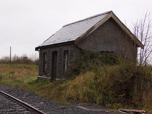 Street and Rathowen Railway Stationrailway station · 479 yd
 Partially hachuredFairy fort / earthen ringfort · 670 yd
 CastleCastle, motte · 817 yd
 Church (in Ruins)Church · 930 yd
 MoatCastle, motte and bailey · 1670 yd
 Silver FirSilver Fir · 2.0 mi
 Sweet ChestnutSweet Chestnut · 2.8 mi
 Edgeworthstown BypassMemorial · 4.5 mi
 Bridge Memorial (Kenna)Memorial · 5.5 mi
 Granard MotteMotte-and-bailey castle remains · 7.2 mi
 1798 Monumentmonument · 7.3 mi