What is recorded here
Fairy fort / earthen ringfort in Rath (moygoish By., Rathowen Ed) is a fairy fort or earthen ringfort in Rath (moygoish By., Rathowen Ed), County Westmeath, Ireland. The monument was levelled around 1975 and was described in that year as a sub-circular area approximately forty metres in diameter from north to south, defined by a low, poorly preserved earthen bank with traces of an external fosse. No entrance feature was visible, and the interior was recorded as uneven and recently bulldozed, while the outline remains visible on aerial photographs taken in November 2011.
Situated on S facing slope of low natural rise in undulating countryside with good views in all directions. Bogland 200m to N, and ringfort (WM002-026----) 250m to NW. Levelled ringfort the outline of which is visible on Digital Globe aerial photographs taken November 2011. The monument was levelled c. 1975 and was described in this year as consisting of a sub-circular area (approx. diam. 40m N-S) defined by a low poorly preserved earthen bank with traces of an external fosse. No entrance feature visible. The interior was described as uneven and had been recently bulldozed.
See attached profile of monument surveyed and drawn by the ASI.
Compiled by: Frank Coyne & Caimin O'Brien
Date of upload: 28 November 2016
The monument record does not grant public access. Check the route and ask the landowner before entering private land.
- What survives
- Recorded monument
Places near here
 BarrowBarrow, ring-barrow · 488 yd
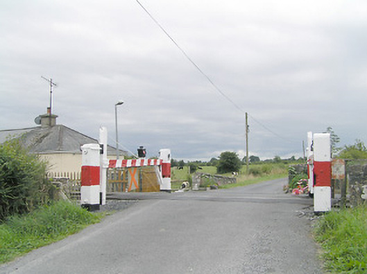 level crossinglevel crossing · 816 yd
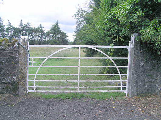 gates/railings/wallsgates/railings/walls · 1045 yd
 Partially hachuredFairy fort / earthen ringfort · 1520 yd
 CastleCastle, motte · 1.4 mi
 MoatCastle, motte and bailey · 1.4 mi
 Silver FirSilver Fir · 1.7 mi
 Sweet ChestnutSweet Chestnut · 2.8 mi
 Edgeworthstown BypassMemorial · 3.6 mi
 Granard MotteMotte-and-bailey castle remains · 6.7 mi
 1798 Monumentmonument · 6.8 mi
 Bully's Acregraveyard/cemetery, unknown · 8.6 mi