What is recorded here
Magic fort in Rath Beg, County Kerry. One of two raths on Lawrence Kelly's land in the 1940s. People buried their dead there long before. The exact spot has been forgotten, but the earth still holds the shape of hands that built it.
One of two raths (see KE068-013----) recorded in the 1940s in Lawrence Kelly's land, and which had been used 'as a cemetery [KE068-089001-] long ago' (Schools Manuscript, Co. Kerry). This possible rath has not been precisely located.
Compiled by: Elizabeth Byrne, Ursula Egan and Sheila Ronan, Archaeological Survey Unit, University College, Cork.
Date of upload: 31 January 2011
The monument record does not grant public access. Check the route and ask the landowner before entering private land.
- What survives
- Recorded monument
Places near here
 LisheengarrivFairy fort / earthen ringfort · 436 yd
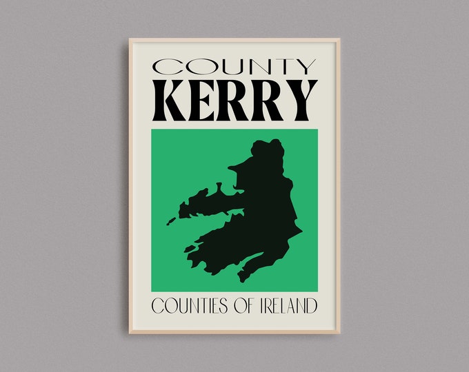 IndicatedFairy fort / earthen ringfort · 808 yd
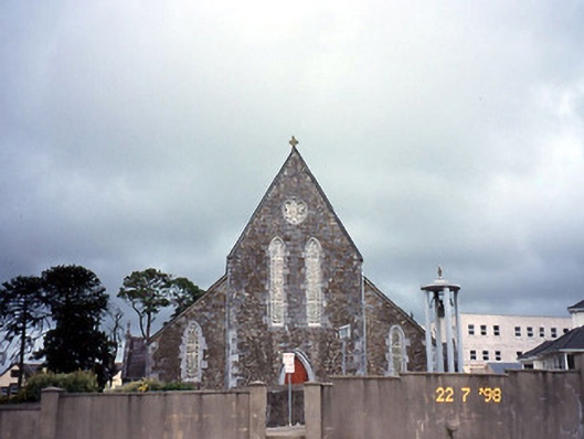 Saint Joseph's Catholic Churchchurch/chapel · 1688 yd
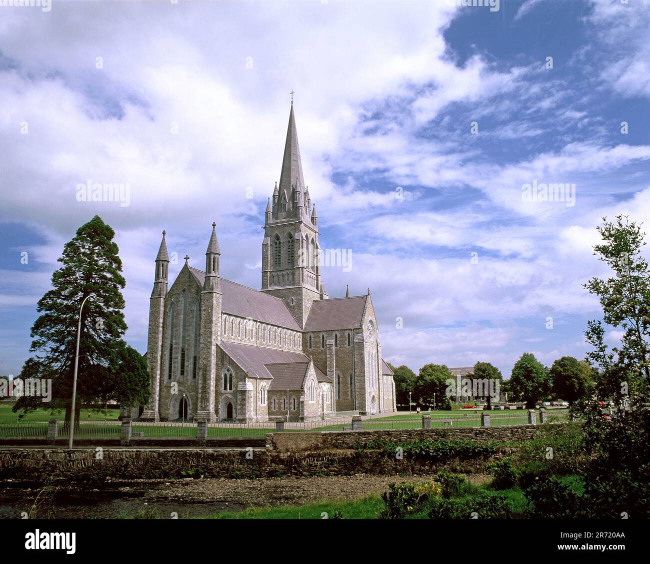 Cullavaw Br.Bridge · 1738 yd
 Nohaval WoodWood · 2.4 mi
 Caherbarnagh NW TopMountain / peak · 3.1 mi
 CaherbarnaghMountain / peak · 3.5 mi
 BarraduffMemorial · 4.2 mi
 Barna BogForest · 6.7 mi
 Killaha Castle (in Ruins)Castle, tower house · 7.1 mi
 Lissivigeen Stone CircleHeritage attraction · 9.6 mi
 Mass RockNamed rock · 9.7 mi