What is recorded here
Fairy fort in Raskill, County Cavan: a slightly raised oval, about thirty-two metres long, enclosed by a low earthen bank and a fosse, with its entrance possibly at the south-east. Levelled in 1952, it lost most of its shape, yet a short stretch of the surrounding line still shows at the south-west. The land remembered the boundary even after the field took the rest back.
Although levelled in 1952, the outline of the enclosing elements can be distinguished for a short stretch at SW. From earlier descriptions (OPW 1968 and 1970) it would appear that the site comprised a slightly raised oval area (int. dims c. 32m NNW-SSE; 24.5m ENE-WSW) enclosed by a slight earthen bank and a fosse. Original entrance may have been at SSE.
The above description is derived from the published 'Archaeological Inventory of County Cavan' (Dublin: Stationery Office, 1995). In certain instances the entries have been revised and updated in the light of recent research.
Date of upload/revision: 22 December 2008
The monument record does not grant public access. Check the route and ask the landowner before entering private land.
- What survives
- Recorded monument
Places near here
 Enclosure in PolesEnclosure · 1.0 mi
 Font in Lislea (drung Ed)Font · 1.2 mi
 Shantemon ForestForest · 1.5 mi
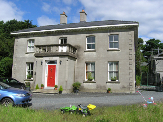 presbytery/parochial/curate's housepresbytery/parochial/curate's house · 1.6 mi
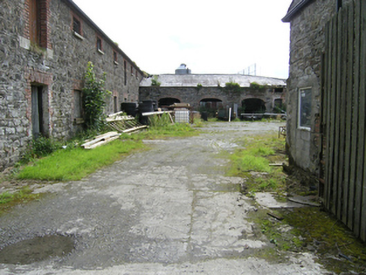 stablesstables · 1.6 mi
 To The Memory of P.J. DukeMemorial · 1.7 mi
 Castleterra ForestForest · 1.9 mi
 Foundation Stone Blessed by Pope John Paul II 1979Memorial · 2.2 mi
 Aghalackan EastMountain / peak · 2.4 mi
 Aghalackan WestMountain / peak · 2.6 mi
 Garden IsleIslet · 3.8 mi
 CastleCastle, unclassified · 3.8 mi