What is recorded here
Marianne and Ciaran walked the east causeway at sunset, their boots pressing into damp earth. The waterlogged fosse gleamed like a dark mirror, reflecting orange sky and the solid bank above. They stood inside the thirty-metre circle, listening to wind move through grass rather than arguing about what the place was for.
Raised circular area (int. diam. 30m) enclosed by a substantial earthen bank and a wide, deep, partly waterlogged fosse. Break in bank at E with accompanying causeway probably represents original entrance.
The above description is derived from the published 'Archaeological Inventory of County Cavan' (Dublin: Stationery Office, 1995). In certain instances the entries have been revised and updated in the light of recent research.
Date of upload/revision: 22 December 2008
The monument record does not grant public access. Check the route and ask the landowner before entering private land.
- What survives
- Recorded monument
Places near here
 Saint Dympna's CrossWayside cross · 1433 yd
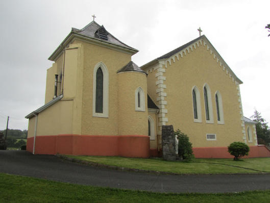 St Dymphna's Roman Catholic Churchchurch/chapel · 1513 yd
 Raven's RockNamed rock · 1.0 mi
 CarrickatoberMountain / peak · 1.2 mi
 Ritual siteRitual site, holy/saint's stone · 1.2 mi
 St. Patricks WellHoly well · 1.2 mi
 AghadreenaghMountain / peak · 1.4 mi
 Pottle ForestForest · 1.8 mi
 Derry ForestForest · 2.8 mi
 Bawn in DuffcastleBawn · 3.3 mi
 Site of the Fever HospitalMemorial · 3.5 mi
 The GPO ExhibitionMuseum · 3.5 mi