What is recorded here
Ranahan’s earthen ringfort vanished beneath the pasture, its thirty-metre circle erased from the north-facing slope. The 1841 map still draws the embankment, but modern fields have swallowed the boundary stones and deleted the fort’s shadow. What remains is a absence shaped like a room, waiting for someone to remember the weight of its soil.
In pasture, on N-facing slope. Monument, depicted on 1841 OS 6-inch map as embanked circular enclosure (diam. c. 30m), has been levelled. Field boundaries immediately to S and W have also been removed. No trace of monument evident when inspected.
Compiled by: Denis Power
Date of upload: 26 August 2011
The monument record does not grant public access. Check the route and ask the landowner before entering private land.
- What survives
- Recorded monument
Places near here
 Mound in RanahanMound · 329 yd
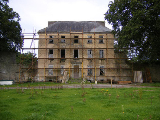 Riddlestown Parkcountry house · 746 yd
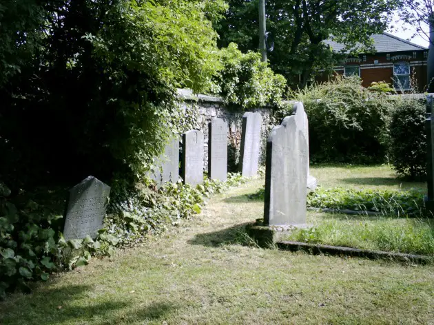 Burial in BallyanBurial · 1361 yd
 Kilcool Bridgebridge · 1439 yd
 Bawn in Lisnacullia (connello Lower By.)Bawn · 1.0 mi
 Bawn in StonevilleBawn · 1.7 mi
 TobernablahySpring · 1.9 mi
 St. Kieran's WellSpring · 2.1 mi
 Askeaton CastleHeritage attraction · 4.1 mi
 European ashEuropean ash · 4.2 mi
 Flat cemetery in CroaghFlat cemetery · 4.7 mi
 Foynes Flying Boat & Maritime MuseumMuseum · 6.7 mi