What is recorded here
Meadow goats and men shared the ridge when the fort was new. Its low bank still marks a small oval where people watched weather, herds and travellers move across the flat grassland. The fairies may have taken the name, but the shape belongs to human choice: a place set slightly above the ordinary field, easy to see and hard to forget.
In pasture, located on a NW–SE ridge, at the break of slope on the NNE-facing side, with excellent views N–SE over lowlying grassland. There is rising ground at S–SW.
Broadly oval area (24m N–S; c. 27m E–W) defined by a low bank (Wth 2.2.2m; int. H 0.2m at W; ext. H 0.5m at W, 0.8m at ENE) at SE−NE, truncated at E–SE by a later field fence on a NNE–SSW axis. At N the external slope of the bank is enhance by the natural fall of ground, and there are traces of external stone facing. On the S arc the bank is reduced to a scarp and is overlain by a field fence on a roughly E-W axis.
The interior has slight drop in ground level in the NE quadrant. The surface is uneven.
Compiled by: Jane O’Shaughnessy
Date of upload: 4 June 2021
The monument record does not grant public access. Check the route and ask the landowner before entering private land.
- What survives
- Recorded monument
Places near here
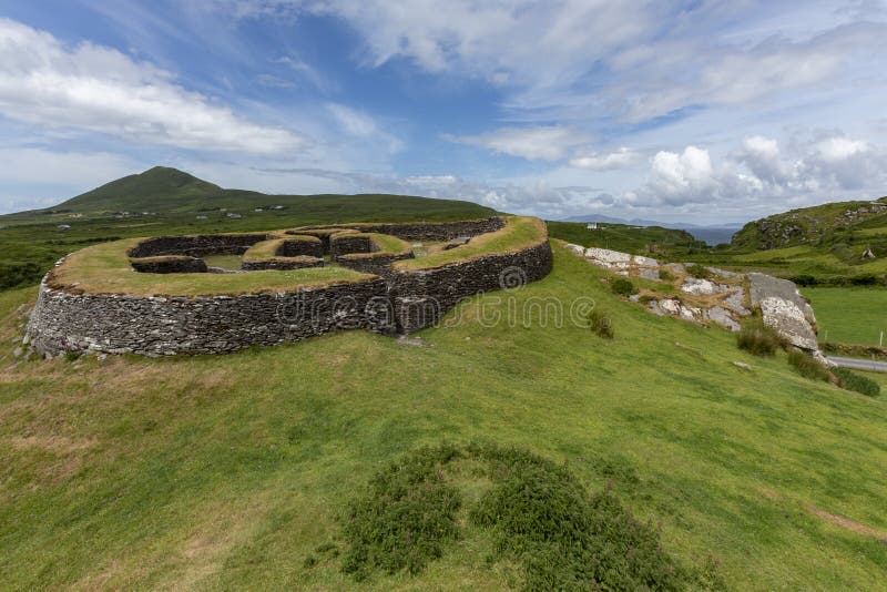 Cashelgal FortFairy fort / stone ringfort · 528 yd
 farm housefarm house · 685 yd
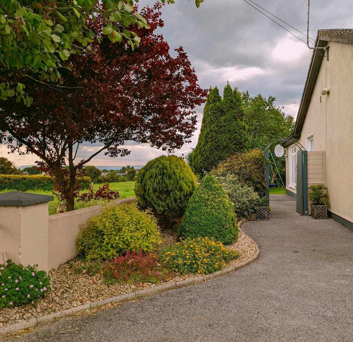 IndicatedFairy fort / earthen ringfort · 925 yd
 Church in Rusheens WestChurch · 1670 yd
 Crunaun Castle (in ruins)Castle, unclassified · 2.2 mi
 Casatle (ruins)Castle, unclassified · 2.7 mi
 Bockagh HillMountain / peak · 4.2 mi
 East Mayo Brigade MonumentMemorial · 7.9 mi
 Bawn IslandIslet · 9.4 mi
 Rose PointHeadland · 9.9 mi
 Crow IslandIslet · 10 mi
 Castle PointHeadland · 10 mi