What is recorded here
Located on a gentle E-facing slope. Aerial photograph (GB89.AN.31) shows a cropmark of an incomplete circular enclosure defined by two widely spaced fosses. It is also visible as a faint feature on aerial photographs (ASIAP (9) 15-17).
Compiled by: Gillian Barrett/Michael Moore
Date of upload: 18 June, 2013
The monument record does not grant public access. Check the route and ask the landowner before entering private land.
- What survives
- Recorded monument
Places near here
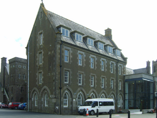 Saint Louis's Conventconvent/nunnery · 678 yd
 Saint James's Catholic Churchchurch/chapel · 729 yd
 Embanked enclosureFairy fort / ringfort · 1303 yd
 Common WhitebeamCommon Whitebeam · 1.1 mi
 RathmoyleFairy fort / earthen ringfort · 1.5 mi
 Arthurstown BeachBeach / strand · 1.9 mi
 Kilhile Castle (in ruins)Castle, tower house · 1.9 mi
 Site of CastleCastle, unclassified · 2.1 mi
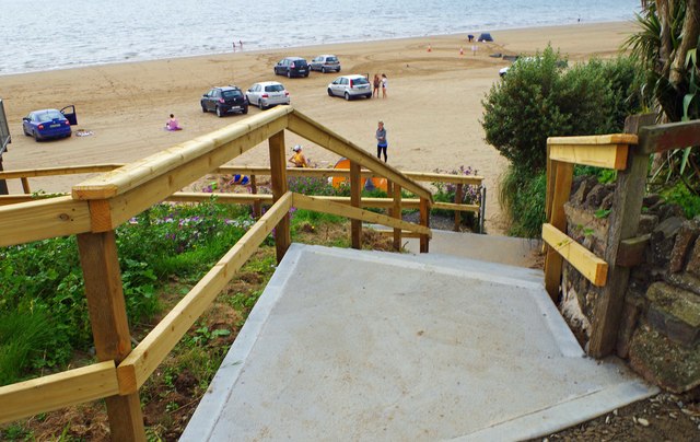 Duncannon BeachVisitor information · 2.2 mi
 DuncannonBeach / strand · 2.2 mi
 Ivory MemorialMemorial · 2.8 mi
 Nook BayBay · 2.8 mi