What is recorded here
Mud and memory collide inside a forty-metre circle where water still fills the ditch. People called it a fairy fort because the dark depth and hidden center resisted ordinary explanation. Others saw a human home, a boundary drawn in earth to keep rain, strangers and forgetting at a distance. The causeway at the east entrance remains clear enough to walk, even when the rest disappears beneath vegetation and shadow.
Raised circular area (int. diam. c. 40m) enclosed by a substantial earthen bank and a wide, deep, waterlogged fosse, poorly preserved from NNE-E-SW. Break in bank with accompanying causeway at ENE represents original entrance. Internal area densely overgrown with vegetation.
The above description is derived from the published 'Archaeological Inventory of County Cavan' (Dublin: Stationery Office, 1995). In certain instances the entries have been revised and updated in the light of recent research.
Date of upload/revision: 22 December 2008
The monument record does not grant public access. Check the route and ask the landowner before entering private land.
- What survives
- Recorded monument
Places near here
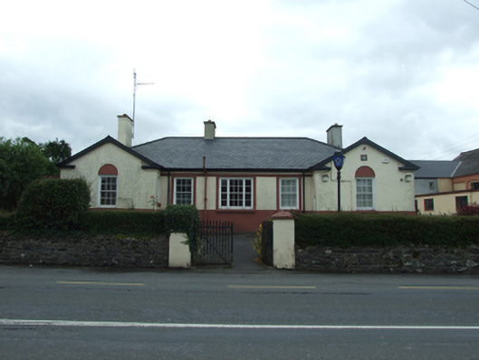 Ballyjamesduff Garda Stationgarda station/constabulary barracks · 567 yd
 1940 PloughMemorial · 607 yd
 Market House Chinese Takeaway / The Hair Care Centremarket house · 659 yd
 River Inny BridgeMemorial · 722 yd
 Sheela-na-gig (present location) in Kilmore (castlerahan By., Ballyjamesduff Ed)Sheela-na-gig (present location) · 1253 yd
 Scouts wind vaneMonument · 1280 yd
 Cornahilt ForestWood · 1322 yd
 The GPO ExhibitionMuseum · 1341 yd
 CarnMountain / peak · 1.2 mi
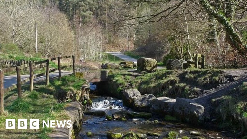 Carn ForestForest · 1.4 mi
 AghaloughanMountain / peak · 2.3 mi
 Bawn in DuffcastleBawn · 2.7 mi