What is recorded here
Fairy forts are human ringforts misnamed by legend, but Raloaghan keeps both truths alive: a D-shaped grass ridge on a broad Meath hill, large enough to hold a house and small enough to vanish into pasture. The field bank cut across its edge, perhaps closing the entrance or perhaps simply taking what it wanted. A person standing inside would have looked out over open country, yet the walls are so thin now that wind and rain have nearly erased the difference between made and natural.
Located on top of a broad hill. It is represented as a D-shaped feature on the NW side of a NE-SW field bank on the 1836 and 1908 editions of the OS 6-inch map. This is a raised D-shaped grass-covered area (dims 29m NE-SW; 20m NW-SE) with some bushes defined by a slight bank (at NE: Wth of base 7m; int. H 0.4m; ext. H 1.6m) that is largely reduced to a scarp (at SW: Wth 2.5m; H 0.8m), with an external fosse (Wth of top 5m; ext. D 0.5m) NW-NE. A NE-SW field bank truncates the monument towards the perimeter at SE and it does not survive visibly beyond it. The original entrance is not visible so it may have been at SE. The grass-covered foundations of a rectangular house (max. dims 7.5m NE-SW; 4.8m NW-SE) defined by a spread of stone (Wth 1.3m; max. H 1m) are near the edge at NW.
The above description is derived from the published 'Archaeological Inventory of County Meath' (Dublin: Stationery Office, 1987). In certain instances the entries have been revised and updated in the light of recent research.
Compiled by: Michael Moore
Date of revision: 31 August 2018
The monument record does not grant public access. Check the route and ask the landowner before entering private land.
- What survives
- Recorded monument
Places near here
 Enclosure in RaloaghanEnclosure · 883 yd
 Cross in EnniskeenCross · 1445 yd
 Miltown GlenWood · 1.3 mi
 The CurraghWood · 1.3 mi
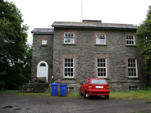 rectory/glebe/vicarage/curate's houserectory/glebe/vicarage/curate's house · 1.4 mi
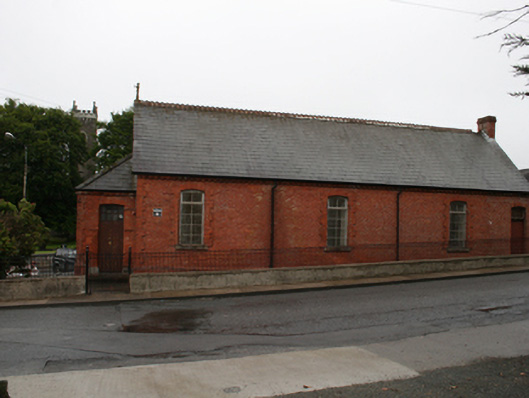 Kingscourt Parochial Hallchurch hall/parish hall · 1.7 mi
 BarleyhillMountain / peak · 2.3 mi
 CabraMountain / peak · 2.3 mi
 In Memory of Our DadMemorial · 2.6 mi
 Natural Play AreaMemorial · 2.6 mi
 Cloghreagh Castle in RuinsCastle, unclassified · 2.6 mi
 Castle ruinsCastle, unclassified · 2.7 mi