What is recorded here
Fairy forts hide human history behind magical names. In Raloaghan, a wide earthen ring stands above the steepest part of a west-facing hill, its southern entrance still marked by a raised causeway. People may have lived, herded or hidden there before the story of fairies took the place from them.
Located towards the top of the W-facing slope of a hill and just above its steepest point. This is a circular grass and scrub-covered area (diam. 37m NE-SW; 34m NW-SE) that slopes down to the W defined by an overgrown earthen bank (at NE: Wth of base 5.6m; int. H 1.3m; ext. H 2.2m) N-E-SW that is reduced to a scarp (at NW: Wth 5m; H 2.7m) elsewhere. There is an outer fosse (Wth of top 7-10m; Wth of base 3m; ext. D 1.5m) and an outer bank (at SE: Wth of base 4.1m; int. H 1.5m; ext. H 0.5m) NE-E-SW, with traces of the fosse elsewhere. The entrance through the inner (Wth of base 1.7m) and outer (Wth of base 1.8m) banks with a causeway (Wth of top 3m; H 0.7m) is at SSW.
The above description is derived from the published 'Archaeological Inventory of County Meath' (Dublin: Stationery Office, 1987). In certain instances the entries have been revised and updated in the light of recent research.
Compiled by: Michael Moore
Date of revision: 31 August 2018
The monument record does not grant public access. Check the route and ask the landowner before entering private land.
- What survives
- Recorded monument
Places near here
 Enclosure in RaloaghanEnclosure · 734 yd
 Cross in EnniskeenCross · 1439 yd
 Miltown GlenWood · 1.0 mi
 The CurraghWood · 1.1 mi
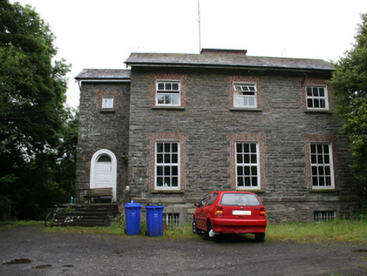 rectory/glebe/vicarage/curate's houserectory/glebe/vicarage/curate's house · 1.4 mi
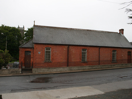 Kingscourt Parochial Hallchurch hall/parish hall · 1.6 mi
 CabraMountain / peak · 2.4 mi
 BarleyhillMountain / peak · 2.4 mi
 In Memory of Our DadMemorial · 2.7 mi
 Natural Play AreaMemorial · 2.7 mi
 Castle ruinsCastle, unclassified · 2.7 mi
 Cloghreagh Castle in RuinsCastle, unclassified · 2.9 mi