What is recorded here
Fairy fort in Ralaghan, County Cavan: a raised circular area, internal diameter about 35 metres, enclosed by a substantial inner earthen bank, a wide deep fosse and traces of an outer bank; the fosse and outer bank are now visible only from north-north-east to south-east, and the narrow eastern entrance may be original. It stands as a rath, an earthen ringfort, the kind of place where people once drew a line around their lives and called the inside theirs.
Raised circular area (int. diam. c. 35m) enclosed by a substantial inner earthen bank, a wide, deep fosse and traces of an outer bank. Both fosse and outer bank are now only identifiable from NNE-SE. Narrow entrance at E may be original.
The above description is derived from the published 'Archaeological Inventory of County Cavan' (Dublin: Stationery Office, 1995). In certain instances the entries have been revised and updated in the light of recent research.
Date of upload/revision: 22 December 2008
The monument record does not grant public access. Check the route and ask the landowner before entering private land.
- What survives
- Recorded monument
Places near here
 Glasleck Presbyterian Churchchurch/chapel · 747 yd
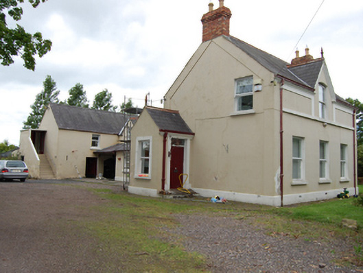 The Mansemanse · 851 yd
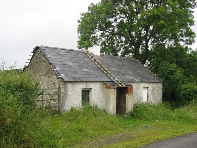 IndicatedFairy fort / earthen ringfort · 1046 yd
 Black FortArchaeological place · 1195 yd
 Green IslandIsland · 1.1 mi
 Taghart South ForestForest · 1.4 mi
 NolaghWood · 1.5 mi
 DerrynureMountain / peak · 2.1 mi
 Bawn in LisdrumskeaBawn · 2.2 mi
 Bush IslandIslet · 2.5 mi
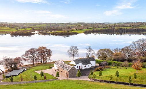 BracklinMountain / peak · 2.5 mi
 Welcome to Bailieborough DemesneVisitor information · 3.3 mi