What is recorded here
Fairy forts in Cavan and Leitrim are often listed as ringforts but show no entrance gap, no internal divisions and no trace of domestic life. They are excluded from the main ringfort dataset and mapped separately because they behave like a different kind of monument.
Site is almost completely obscured by vegetation. An earlier report (OPW 1969) described it as a raised circular area (int. diam. c. 28m) enclosed by an earthen bank and a fosse which is clearly defined from N-S-WSW and poorly preserved elsewhere. Bank also poorly preserved from WSW-W-N. Break in bank at ENE probably represents original entrance. Indications of a possible Man-made underground passage in the internal area (CV022-031002)
The above description is derived from the published 'Archaeological Inventory of County Cavan' (Dublin: Stationery Office, 1995). In certain instances the entries have been revised and updated in the light of recent research.
Date of upload/revision: 22 December 2008
The monument record does not grant public access. Check the route and ask the landowner before entering private land.
- What survives
- Recorded monument
Places near here
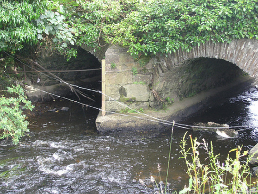 Lucas's Bridgebridge · 1012 yd
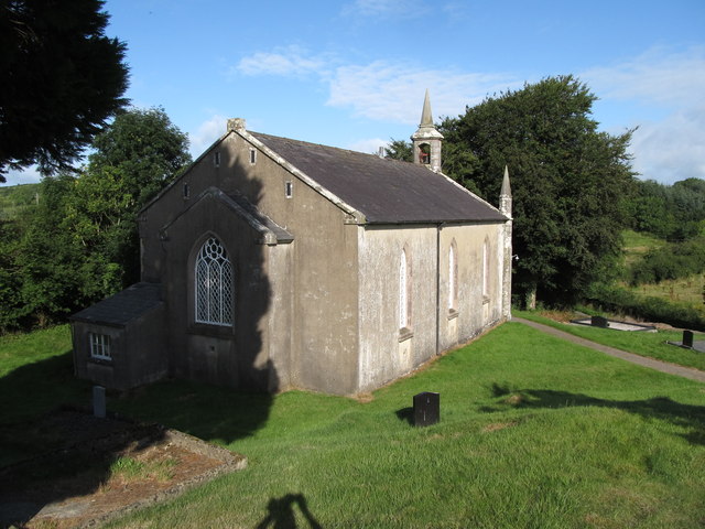 Dernakesh Church of Ireland Churchchurch/chapel · 1225 yd
 DrumbinnisMountain / peak · 1553 yd
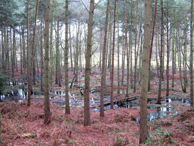 Lisdoagh Wet WoodlandWood · 1.4 mi
 Drumlumman Wet WoodlandWood · 1.6 mi
 Graveyard in Drumgoon (clankee By.)Graveyard · 1.8 mi
 Grave YardGraveyard · 1.9 mi
 Small IslandIsland · 2.2 mi
 Enclosure in KillalissEnclosure · 2.3 mi
 CornanurneyMountain / peak · 2.5 mi
 Giant's GraveArchaeological place · 3.3 mi
 CastleCastle, unclassified · 4.0 mi