What is recorded here
That is the fairy fort in Rahood, County Meath: a D-shaped grass ring, twenty-five metres long, built on a low knoll where the north slope drops away. People called it a fairy fort because the shape resisted ordinary sense, yet the earthen bank and shallow ditch mark a human ringfort where life was lived, defended or forgotten. The fairies may have taken it back after the people went, but the soil still holds the line they drew.
Situated on a low knoll towards the bottom of the N-facing slope of a NW-SE ridge, with lower ground to the NE. This is a D-shaped grass-covered area (dims 25m N-S; 23m E-W) defined by a scarp (at SW: Wth 2.5m; H 1m) SE-W-NNE, with an earthen bank (Wth of base 5.7m; int. H 0.6m; ext. H 1.1m) and slight outer fosse or ditch (ext. D 0.3m) at the straight E side where the monument might have been cut back and the spoil thrown inwards to create the bank. There is a wide entrance (Wth of base 5m) through the bank and a slight causeway (Wth of top 2m; H 0.4m) at E.
The above description is derived from the published 'Archaeological Inventory of County Meath' (Dublin: Stationery Office, 1987). In certain instances the entries have been revised and updated in the light of recent research.
Compiled by: Michael Moore
Date of revision: 9 April 2019
The monument record does not grant public access. Check the route and ask the landowner before entering private land.
- What survives
- Recorded monument
Places near here
 Raffin FortArchaeological place · 1603 yd
 HeadstownMountain / peak · 1.2 mi
 Headstown ForestForest · 1.2 mi
 Common LimeCommon Lime · 1.2 mi
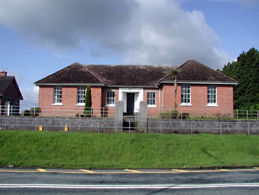 Nobber Technical Schoolschool · 1.4 mi
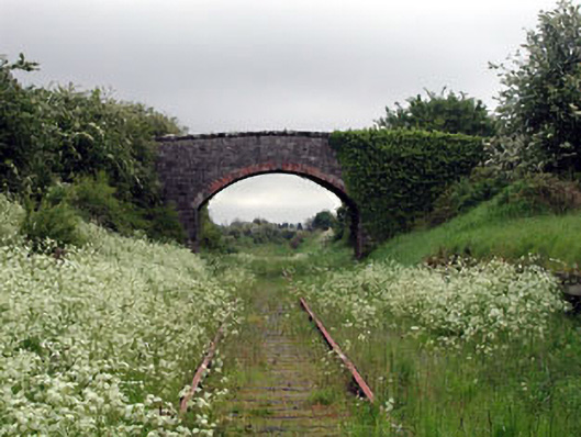 bridgebridge · 1.4 mi
 Nobber GreenwayMemorial · 1.4 mi
 MoatCastle, motte and bailey · 1.5 mi
 Ugly HillMountain / peak · 1.8 mi
 Castletown FortCastle, motte and bailey · 1.8 mi
 Owenroe and Moynalty DrainageMemorial · 2.4 mi