What is recorded here
Mature trees and dense undergrowth now strangle the twenty-nine metre circle, hiding the earthen bank and external fosse beneath a green canopy. The surrounding field boundary still guards the site, though a gap at the north west reveals human alteration rather than natural decay. A small pool sits in the north west quadrant, waiting for rain or memory to give it purpose. The fort has stopped being a fort and become a living shape, breathing through roots and shadow instead of walls.
In level pasture. Site is tightly enclosed by earthen field boundary, except at NW where portion of boundary is removed; enclosed area is covered by mature trees and dense undergrowth. Circular area (diam. 29m) enclosed by earthen bank (int. H 0.8m; ext. H 1.3m) with an external fosse (D. 0.3m; Wth 3.8m). A field boundary completely encircles site, a short distance (c. 10m) outside enclosing element except NNE->ESE where it runs along outer edge of fosse. Bank levelled (Wth 12m) NW->NNE, and there is corresponds gap in surrounding field boundary. Fosse is infilled NW->NNE with debris from removed section of field boundary. Interior level, dry and almost completely covered by impenetrable overgrowth. There is a small pool (diam. 3m) of water in NW quadrant.
Compiled by: Denis Power
Date of upload: 26 August 2011
The monument record does not grant public access. Check the route and ask the landowner before entering private land.
- What survives
- Recorded monument
Places near here
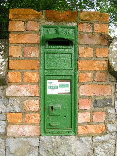 post boxpost box · 885 yd
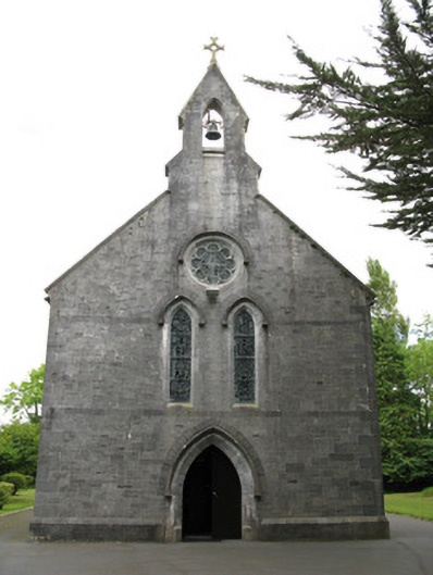 Saint Mary's Catholic Churchchurch/chapel · 997 yd
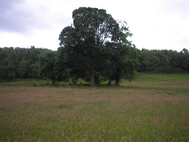 Burial GroundGraveyard · 1026 yd
 Enclosure in Ballymurragh EastEnclosure · 1304 yd
 Glenquin CastleCastle · 2.4 mi
 Dotted outlineBawn · 2.7 mi
 Saint Ite's WellSpring · 2.8 mi
 Limerick GreenwayWalking route · 3.1 mi
 Sugar HillMountain / peak · 3.1 mi
 TobereenalaffinaSpring · 3.2 mi
 Ballagh MountainMountain / peak · 3.8 mi
 Mullaghareirk - Banane LoopWalking route · 7.7 mi