What is recorded here
No visible fort, no lost archive, no hidden story.
Situated on a spur of the Kilreekill ridge with commanding views to north, west and south-west. The monument stands at the centre of a hillfort (GA086-211001-) and consists of a well-preserved oval rath (E-W 34.7, N-S 29.6m) defined by two banks and an intervening fosse. A field wall surrounds the outer bank. Within the interior are a number of rectangular structures (L c. 10.4m, Wth c. 4.6m) defined by grassed-over banks of stone; possible houses. An enclosure was discovered immediately north-east of the ringfort (GA086-211002-). (Alcock et al. 2009, no. 2168)
Compiled by: Paul Walsh
Date of upload: 11 November 2015
The monument record does not grant public access. Check the route and ask the landowner before entering private land.
- What survives
- Recorded monument
Places near here
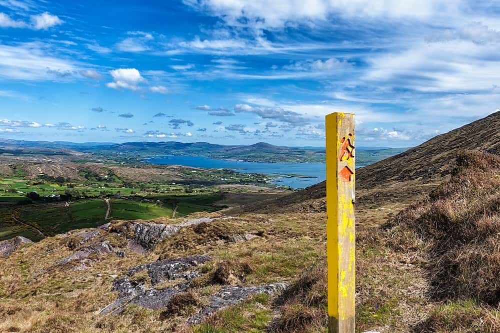 IndicatedField system · 769 yd
 ToberdoneyHoly well · 1604 yd
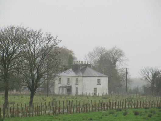 Rathglass Housecountry house · 1.1 mi
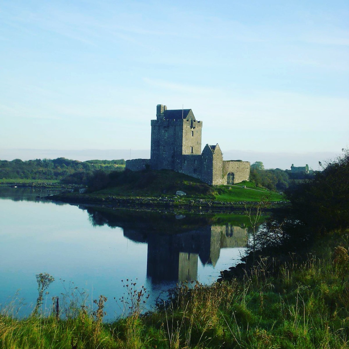 R.C. ChapelChurch · 1.4 mi
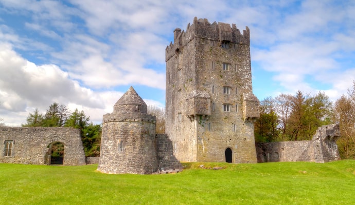 CastleCastle, unclassified · 2.0 mi
 Galboley Castle (in ruins)Castle, unclassified · 2.8 mi
 Turoe StoneHeritage attraction · 2.9 mi
 Woodlawn WoodsForest · 3.3 mi
 European Crab AppleEuropean Crab Apple · 3.6 mi
 Dartfield Horse MuseumHeritage attraction · 4.2 mi
 Battle of Aughrim Interpretative CentreMuseum · 8.1 mi
 Battle of AughrimMajor battlefield · 8.2 mi