What is recorded here
Fairy fort in Raferigeen: a 25-metre earthen ring on a south-facing Cork pasture slope, bank still standing one and a half metres high with stone facing in places, a shallow outer ditch cut into a laneway, and a two-metre gap at the north-west entrance. People may have kept stock inside, children may have dared each other to cross the ditch at dusk, and the fairies may have taken the ring as their own when the farm moved on.
In pasture, on S-facing slope. Circular area (25.3m NW-SE; 25.7m NE-SW) enclosed by earthen bank (int. H 1.6m) SSW->E, stone faced in parts; scarp E->SSW. External fosse (D 0.6m) S->NNW, modified to form laneway. Entrance (Wth 2m) to NNW.
The above description is derived from the published 'Archaeological Inventory of County Cork. Volume 1: West Cork' (Dublin: Stationery Office, 1992). In certain instances the entries have been revised and updated in the light of recent research.
Date of upload/revision: 14 January 2009
The monument record does not grant public access. Check the route and ask the landowner before entering private land.
- What survives
- Recorded monument
Places near here
 Our Lady Star of the Sea Roman Catholic Churchchurch/chapel · 793 yd
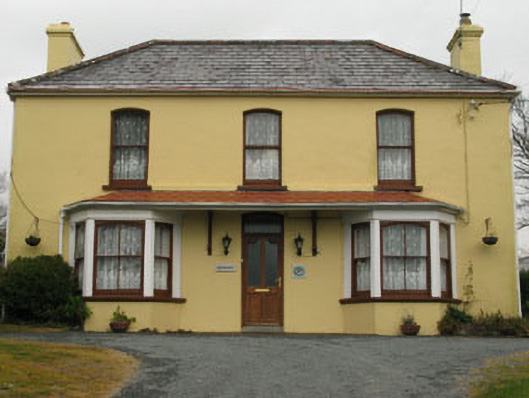 Bridge View Househouse · 810 yd
 Stone RowHeritage attraction · 993 yd
 Finn McCool's SeatViewpoint · 1075 yd
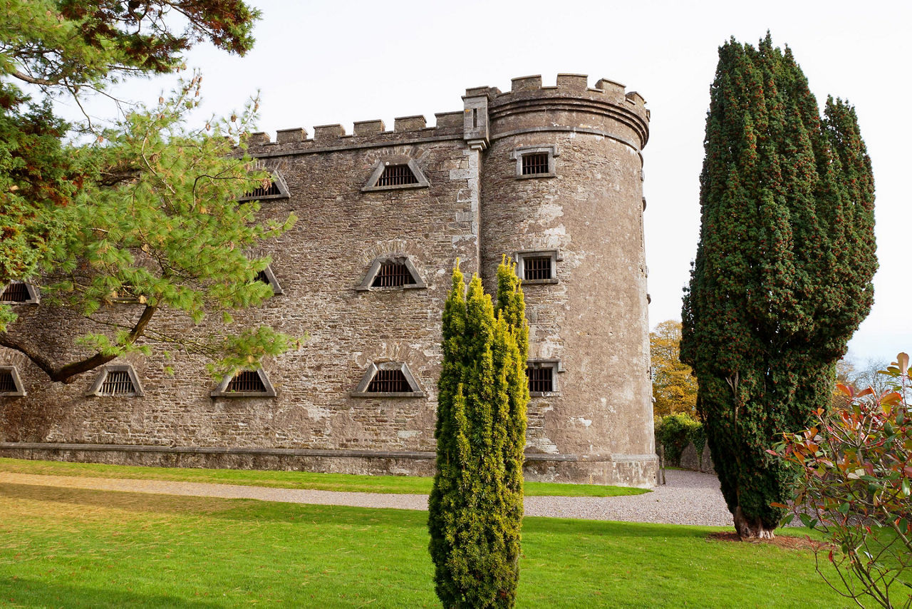 Man-made underground passage in KilcrohaneMan-made underground passage · 1076 yd
 connection Peakeen Loop to Seefin LoopWalking route · 1255 yd
 Mass PathWalking route · 1275 yd
 Mass RockMemorial · 1316 yd
 Megalithic TombMonument · 1350 yd
 SeefinMountain / peak · 1572 yd
 Nora DaltonMemorial · 1722 yd
 Caher MountainMountain / peak · 1.5 mi