What is recorded here
Situated on a rise on a shelf which is on a SW-facing slope. This was described in 1968 (SMR file) as a subcircular grass and rush-covered area (dims 36m NNW-SSE; 31m ENE-WSW) defined by a grass-covered earthen bank and an outer fosse, which was missing SE-SW. The original entrance (Wth of base 9.5m) was at SSE. The rath had been removed by 2000 (OSAP).
The above description is derived from the published 'Archaeological Inventory of County Monaghan' (Dublin: Stationery Office, 1986). In certain instances the entries have been revised and updated in the light of recent research.
Compiled by: Michael Moore
Date of revision: 23 February 2018
The monument record does not grant public access. Check the route and ask the landowner before entering private land.
- What survives
- Recorded monument
Places near here
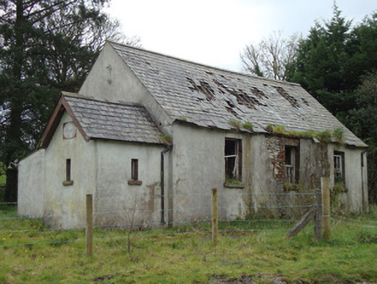 Urcher National Schoolschool · 1.1 mi
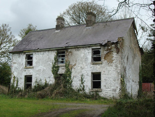 school master's houseschool master's house · 1.1 mi
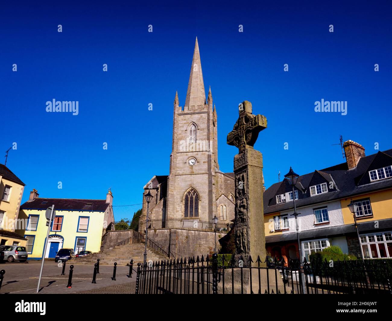 Embanked enclosureFairy fort / earthen ringfort · 1.4 mi
 Grave YardBurial ground · 1.5 mi
 Rossmore MausoleumHeritage attraction · 3.1 mi
 Giant Redwood (1862)Heritage attraction · 3.2 mi
 The Rabbit BurrowWood · 4.2 mi
 Ballybay Wetland CentreNature reserve · 4.2 mi
 Bawn in Roosky (monaghan By., Monaghan Par.)Bawn · 4.5 mi
 Rossmore MonumentMemorial · 4.6 mi
 LisnaspeenanMountain / peak · 6.2 mi
 Fedd HillMountain / peak · 6.6 mi