What is recorded here
Fairy fort / earthen ringfort in Quarryfield is a fairy fort or earthen ringfort in Quarryfield, County Sligo, Ireland. It occupies a D-shaped area on the west-facing slope of a drumlin, where a dry flat-bottomed fosse and outer earthen bank mark most of the boundary. The west portion of the interior stands one metre above ground level while the east portion cuts into the hillslope to compensate for the slope. Quarrying removed a section of the northern fosse and bank, and a man-made underground passage remains in the northeast quadrant.
In pasture, on the W-facing slope of a drumlin. A D-shaped area (dims. 21m N-S; 17m E-W), with the straight side at W, is defined by a scarp N-NNE and elsewhere by an earthen bank (Wth 2.5m; int. H 0.1-0.7m) with numerous gaps. A dry flat-bottomed fosse (Wth 4.2m; D 1.3m) is evident all round apart from a short section S-SSW. The outer earthen bank (Wth 3m; ext. H 0.6m) is evident along the N half of the straight side and curving around the NW corner. The W portion of the interior is raised c. 1m above ground level and the E portion is cut into the hillslope to compensate for the slope. A section of the fosse and bank at N has been removed due to quarrying. A road lies immediately to W of the linear side. A ENE-WSW field boundary crosses the interior. There is a Man-made underground passage (SL038-086002-) in the NE quadrant of the interior.
The above description is derived from the published 'Archaeological Inventory of County Sligo' compiled by Ursula Egan, Elizabeth Byrne, Mary Sleeman with Sheila Ronan and Connie Murphy (Dublin Stationery Office, 2005).
Date of upload: 18 January 2008
This remains an important historical record, but the official description says the monument is no longer visible or has been destroyed. The monument record does not grant public access. Check the route and ask the landowner before entering private land.
- What survives
- No visible remains or recorded as destroyed
Places near here
 Enclosure in QuarryfieldEnclosure · 811 yd
 Quarryfield Househouse · 817 yd
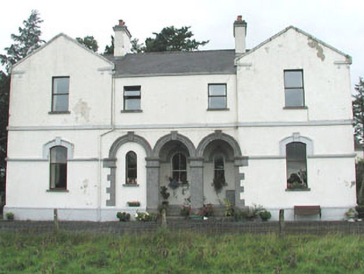 Doobeg Househouse · 1243 yd
 Fulacht fia in Ballynaraw SouthFulacht fia · 1415 yd
 Castle (in Ruins)Castle, tower house · 1525 yd
 Tymon's HillMountain / peak · 1.1 mi
 Ballyfahy Castle (in Ruins)Castle, unclassified · 1.9 mi
 Muckelty HillMountain / peak · 3.9 mi
 Old Cave Burial GroundArchaeological place · 4.5 mi
 ElderElder · 5.1 mi
 Brother WalfridMemorial · 5.3 mi
 Caves of KeshCave · 7.1 mi