What is recorded here
Fairy fort / earthen ringfort in Quarryfield is a fairy fort or earthen ringfort in Quarryfield, County Sligo, Ireland. The site sits in pasture on the steep northwest-facing slope of a drumlin, though it is no longer visible at ground level. The 1838 Ordnance Survey map showed an embanked circular area about seventy metres across, while the 1941 to 1942 map showed only the eastern half with an arc of bank and external fosse. The western half was probably removed during construction of the adjacent road.
In pasture, to NE of a road, on the steep NW-facing slope of a drumlin. This rath is not visible at ground level. It was indicated on the 1838 OS 6-inch map as an embanked circular area (diam. c. 70m). By the 1941-2 OS 6-inch map only the E half of the rath remained, indicated by an arc of bank NNE-S with an external fosse E-S. The W half was probably removed during the construction of the adjacent road. Another rath (SL038-087----) lies c. 50m to N.
The above description is derived from the published 'Archaeological Inventory of County Sligo' compiled by Ursula Egan, Elizabeth Byrne, Mary Sleeman with Sheila Ronan and Connie Murphy (Dublin Stationery Office, 2005).
Date of upload: 18 January 2008
The monument record does not grant public access. Check the route and ask the landowner before entering private land.
- What survives
- Recorded monument
Places near here
 Quarryfield Househouse · 431 yd
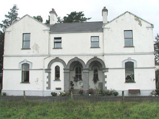 Doobeg Househouse · 981 yd
 Enclosure in QuarryfieldEnclosure · 1255 yd
 Indicated (1838).Enclosure · 1383 yd
 Castle (in Ruins)Castle, tower house · 1.0 mi
 Tymon's HillMountain / peak · 1.2 mi
 Ballyfahy Castle (in Ruins)Castle, unclassified · 1.7 mi
 Muckelty HillMountain / peak · 4.2 mi
 Old Cave Burial GroundArchaeological place · 4.5 mi
 Brother WalfridMemorial · 5.3 mi
 Caves of KeshCave · 7.0 mi
 School CaveCave · 7.8 mi