What is recorded here
No amount of rain, ploughing or neglect has erased the fort. It still stands complete in the hollow earth, waiting to be seen.
Situated in a broad hollow. This rath is not depicted on any map but is clearly visible on all aerial imagery. It was described in 1979 (SMR file) as a circular grass-covered area (diam. c. 30m) defined by an earthen bank (Wth 4m; int. H 0.5m; ext. H 0.5m) with external fosse (Wth of base c. 3.5m; ext. D c. 0.5m) and an outer bank (Wth c. 3m; ext. H 0.2-0.5m). The entrance may be at S (max. ext. diam. 51m).
The above description is derived from the published 'Archaeological Inventory of County Meath' (Dublin: Stationery Office, 1987). In certain instances the entries have been revised and updated in the light of recent research.
Compiled by: Michael Moore
Date of upload: 10 July 2007
Amended: 22 November 2021
The monument record does not grant public access. Check the route and ask the landowner before entering private land.
- What survives
- Recorded monument
Places near here
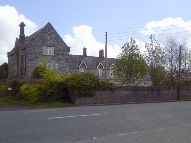 Dunshaughlin Union Workhouseworkhouse administration block · 1715 yd
 Regan's RathArchaeological place · 1.4 mi
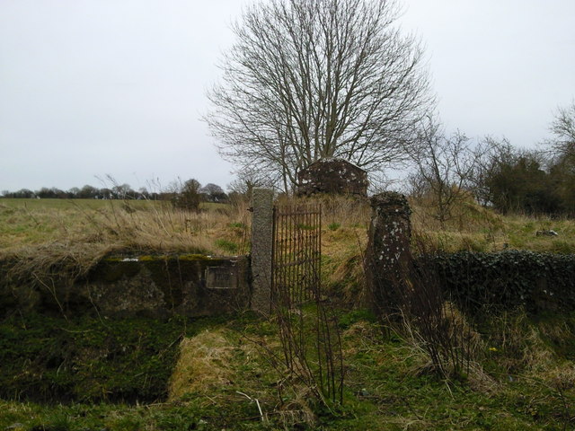 RuinChurch · 1.5 mi
 Mill HillArchaeological place · 1.5 mi
 CastleCastle, motte · 1.7 mi
 MoatCastle, motte and bailey · 2.3 mi
 Lismahon 1798 MemorialMonument · 2.4 mi
 Caulstown Christmas Tree FarmForest · 3.8 mi
 Lemur WoodWood · 4.4 mi
 Emerald ParkHeritage attraction · 4.5 mi
 AshbourneMemorial · 5.0 mi
 Newtown HillMountain / peak · 6.0 mi