What is recorded here
Fairy fort in Poulleagh, County Cork: an earthen ringfort atop a pasture knoll, mapped as a hachured arc facing south-southeast to north, about twenty-five metres across, on the 1905 and 1936 OS 6-inch maps. It has since been levelled, leaving only a low rise in the grass. People may have lived there, marked it, forgotten it, or never believed it worthy of belief at all. The land kept its shape long enough to be drawn, then took it back.
In pasture, atop knoll. Depicted as hachured arc SSE->N (C c. 25m) on 1905 and 1936 OS 6-inch maps. Levelled; low rise visible in area.
The above description is derived from the published 'Archaeological Inventory of County Cork. Volume 4: North Cork' (Dublin: Stationery Office, 2000). In certain instances the entries have been revised and updated in the light of recent research.
Date of upload/revision: 14 January 2009
The monument record does not grant public access. Check the route and ask the landowner before entering private land.
- What survives
- Recorded monument
Places near here
 gates/railings/wallsgates/railings/walls · 821 yd
 Ruane Castle (Site of)Castle, unclassified · 1338 yd
 Bowen's Courtgates/railings/walls · 1458 yd
 Cist in Shanballymore UpperCist · 1704 yd
 Grave YardGraveyard · 1.0 mi
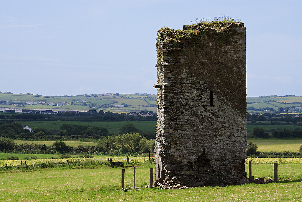 Farahy Castle (in Ruins)Castle, unclassified · 1.2 mi
 Horse Field WoodForest · 1.3 mi
 North Meadow WoodForest · 1.4 mi
 Flat cemetery in Ballyenahan NorthFlat cemetery · 2.2 mi
 Anne's Grove GardensHeritage attraction · 2.3 mi
 CarrigeenamronetyMountain / peak · 4.7 mi
 Coolfree MountainMountain / peak · 4.7 mi