What is recorded here
Situated on well drained grassland overlooking Lough Owel 100m to W. A raised circular shaped area (approx. diam. 27m NE-SW) enclosed by two poorly preserved earthen banks with intervening shallow fosse. The outer bank is very poorly preserved and visible only at S. A field fence running NE-SW curves around the perimeter of the monument from SW-N-NE, probably along the line of the outer bank. This field fence is no longer visible on Digital Globe aerial photograph taken November 2011.
See attached profile of monument surveyed and drawn by the ASI.
Compiled by: Frank Coyne and Caimin O'Brien
Date of upload: 19 February 2018
The monument record does not grant public access. Check the route and ask the landowner before entering private land.
- What survives
- Recorded monument
Places near here
 ‘Abbey’Church · 311 yd
 CastleCastle, motte · 313 yd
 OutlinedFairy fort / earthen ringfort · 316 yd
 IndicatedFairy fort / earthen ringfort · 719 yd
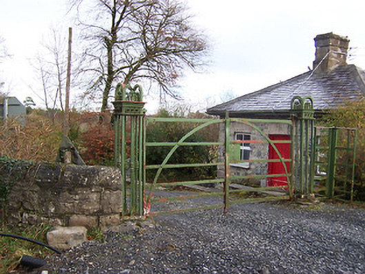 Ardilaun Houselevel crossing, gates/railings/walls · 892 yd
 Scragh Bog Nature ReserveNature reserve · 1713 yd
 Church IslandIsland · 1.2 mi
 Carrickphilbin IslandIslet · 1.6 mi
 Nugent's CastleCastle · 1.7 mi
 Lady's IslandWood · 1.7 mi
 Saint Brigid's WellSpring · 2.7 mi
 Bridge Memorial (Kenna)Memorial · 3.0 mi