What is recorded here
Pollataggle held a twenty-five metre rath on a pasture spur, visible enough in 1838 for surveyors to draw its circle but gone by 1982 except for a faint bank on the eastern slope. The land swallowed the fort, perhaps through ploughing, grazing or simple time, leaving behind a shape remembered only in ink and a small ridge of soil. Whatever lived inside that ring has vanished with it, yet the spur still rises where the wall once stood, holding the ghost of a room built for humans or fairies.
In pastureland. On inspection in October 1982, apart from very slight traces of a bank on the E slope of a spur, no visible surface trace of this monument survived. Its depiction on the 1838 edition of the OS 6-inch map suggests it was a ringfort, possibly a rath (diam. c. 25m).
Compiled by: Galway Archaeological Survey, UCG
Date of upload: 14 June 2019
The monument record does not grant public access. Check the route and ask the landowner before entering private land.
- What survives
- Recorded monument
Places near here
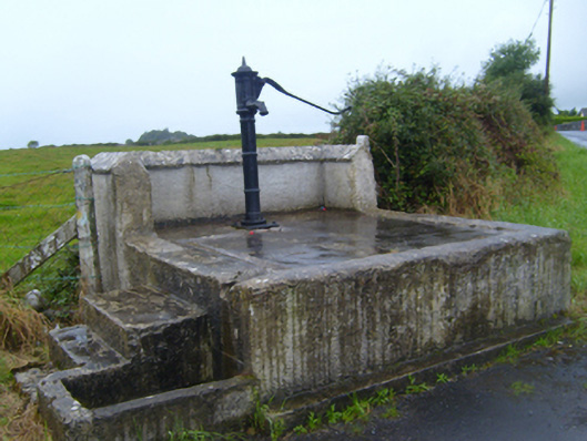 water pumpwater pump · 699 yd
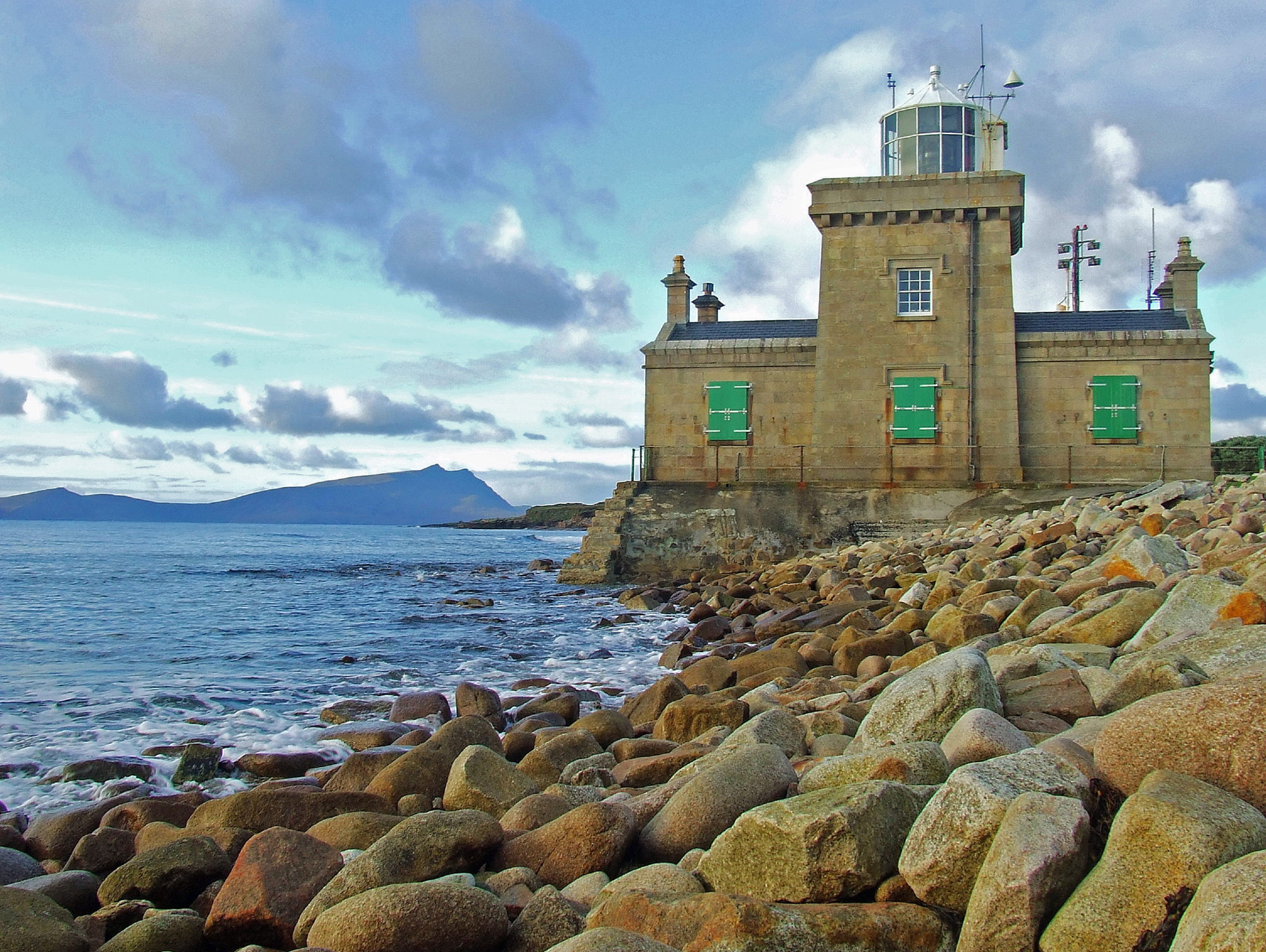 Man-made underground passage in Ballyglass West (dunkellin By.)Man-made underground passage · 1087 yd
 Ballymaquiff CastleCastle · 1145 yd
 CavesMan-made underground passage · 1192 yd
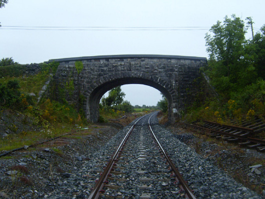 bridgebridge · 1274 yd
 Drumharsna Castle (in ruins)Castle, tower house · 1.3 mi
 Drumharsna CastleHeritage attraction · 1.3 mi
 HawthornHawthorn · 1.3 mi
 European ashEuropean ash · 1.4 mi
 Mulroney's IslandIslet · 5.2 mi
 Goose IslandIslet · 9.4 mi
 Ardfry PointHeadland · 10 mi