What is recorded here
Pollafree holds a twenty-four metre circular fort split by a road, reducing ancient boundary to modern convenience. The earthen bank still rises beside the wheels, preserving the shape even when the function fades. A vehicle passes through what may have been an entrance, turning ritual into traffic. The fort does not disappear; it adapts its purpose.
Raised circular area (int. diam. 24m) enclosed by a low earthen bank and traces of a fosse. Site is divided into two roughly equal portions by a roadway running NW-SE. Break in bank at SSW may represent original entrance.
The above description is derived from the published 'Archaeological Inventory of County Cavan' (Dublin: Stationery Office, 1995). In certain instances the entries have been revised and updated in the light of recent research.
Date of upload/revision: 22 December 2008
The monument record does not grant public access. Check the route and ask the landowner before entering private land.
- What survives
- Recorded monument
Places near here
 Pottle ForestForest · 1.1 mi
 Saint Dympna's CrossWayside cross · 1.5 mi
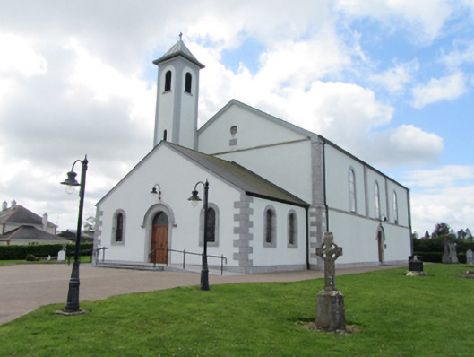 St Matthew's Roman Catholic Churchchurch/chapel · 1.5 mi
 Ritual siteRitual site, holy/saint's stone · 1.6 mi
 St. Patricks WellHoly well · 1.6 mi
 CarrickatoberMountain / peak · 1.6 mi
 Raven's RockNamed rock · 1.8 mi
 AghadreenaghMountain / peak · 2.2 mi
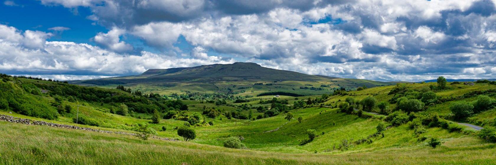 Coragh ForestWood · 2.3 mi
 Site of the Fever HospitalMemorial · 2.7 mi
 The GPO ExhibitionMuseum · 2.7 mi
 Bawn in DuffcastleBawn · 2.7 mi