What is recorded here
Number 55 is a circular rath in Polladooey grassland, forty-seven metres tall and forty-six wide, with a bank running from southwest through west to northwest. Two gaps remain, one narrow at north and one broader at east-northeast, while a rectangular hollow lies in the northwest quadrant like a forgotten chamber. The earth still holds the shape of human hands, even when the purpose has slipped from memory.
In grassland. Almost circular rath (N-S 47m, E-W 46m), in fair condition, defined by a bank and external fosse. The bank is present from SW through W to NW; elsewhere a scarp forms the enclosing element. Either of two gaps at N (Wth 2.2m) and ENE (Wth 8m) could be original. In NW quadrant of the interior is a rectangular hollow (L 8m), long axis running NNE-SSW; a possible Man-made underground passage.
The above description is derived from the published 'Archaeological Inventory of County Galway Vol. II - North Galway'. Compiled by Olive Alcock, Kathy de hÓra and Paul Gosling (Dublin: Stationery Office, 1999).
Date of upload: 05 August 2010
The monument record does not grant public access. Check the route and ask the landowner before entering private land.
- What survives
- Recorded monument
Places near here
 St. Kevins Well (Site of)Holy well · 1.0 mi
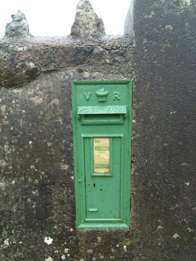 post boxpost box · 1.5 mi
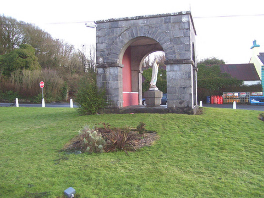 monumentmonument · 1.7 mi
 Enclosure in BrierfieldEnclosure · 2.1 mi
 Barnaderg CastleCastle · 2.2 mi
 CastleCastle, unclassified · 2.4 mi
 Knockmoy AbbeyHeritage attraction · 3.2 mi
 HawthornHawthorn · 3.5 mi
 SycamoreSycamore · 4.9 mi
 Menlough IRAMemorial · 5.6 mi
 Mass RockNamed rock · 11 mi
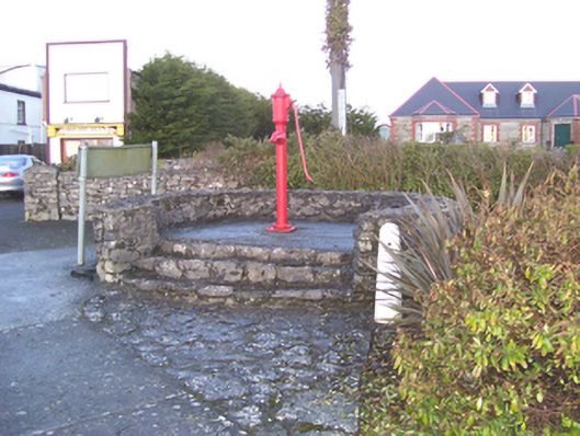 water pumpwater pump · 1.7 mi