What is recorded here
No visible surface trace survives at Pollacorragune, though old maps marked a circular enclosure thirty-five metres wide on the ridge slope. The earth has forgotten the fort, erasing the boundary between human making and natural decay. What remains is a ghost in the landscape, a circle drawn only in memory and ink.
On NE slope of a ridge. Marked on OS 6-inch maps as a circular enclosure (D c. 35m). No visible surface trace survives. An earthwork (GA029-142----) lies c. 130m to N.
The above description is derived from the published 'Archaeological Inventory of County Galway Vol. II - North Galway'. Compiled by Olive Alcock, Kathy de hÓra and Paul Gosling (Dublin: Stationery Office, 1999).
Date of upload: 05 August 2010
The monument record does not grant public access. Check the route and ask the landowner before entering private land.
- What survives
- Recorded monument
Places near here
 Kilcreevanty Bridgebridge · 640 yd
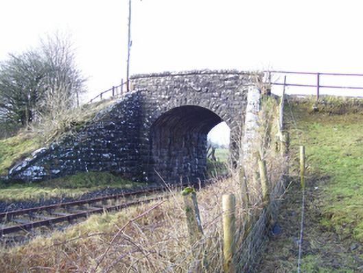 Varley's Bridgebridge · 823 yd
 LismoreArchaeological place · 1022 yd
 European ashEuropean ash · 1039 yd
 CrossCross, High cross · 1064 yd
 Fartamore Castle in ruinsCastle, tower house · 2.2 mi
 Fartamore Castle (ruins)Castle · 2.2 mi
 Mass RockNamed rock · 2.3 mi
 KnockmaaWood · 5.5 mi
 Kilcoona Round TowerHeritage attraction · 9.3 mi
 Ballinduff BayBay · 12 mi
 Walsh's IslandIslet · 13 mi