What is recorded here
Pollacorragune held a twenty-five metre ring on the NE ridge, visible enough for the first survey but chopped at the NW by 1932. The fairies did not leave a castle; they left a curve in the earth that farming gradually ate. What remains is a low scarp from NE to SE, thin as a breath, marking the place where the field and the forgotten circle still argue.
On NE slopes of a ridge in farmland. Marked on 1st ed. of OS 6-inch map as a circular enclosure (D c. 25m) cut by a number of field boundaries: by time of 3rd ed. (1932), it had been truncated by a field boundary at NW. Apart from a low curving scarp, marking its limits from NE to SE, no visible surface trace survives.
The above description is derived from the published 'Archaeological Inventory of County Galway Vol. II - North Galway'. Compiled by Olive Alcock, Kathy de hÓra and Paul Gosling (Dublin: Stationery Office, 1999).
Date of upload: 05 August 2010
The monument record does not grant public access. Check the route and ask the landowner before entering private land.
- What survives
- Recorded monument
Places near here
 Kilcreevanty Bridgebridge · 485 yd
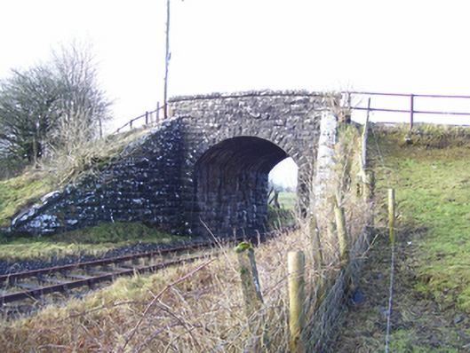 Varley's Bridgebridge · 895 yd
 LismoreArchaeological place · 944 yd
 European ashEuropean ash · 1194 yd
 CrossCross, High cross · 1199 yd
 Fartamore Castle in ruinsCastle, tower house · 2.1 mi
 Fartamore Castle (ruins)Castle · 2.1 mi
 Mass RockNamed rock · 2.3 mi
 KnockmaaWood · 5.6 mi
 Kilcoona Round TowerHeritage attraction · 9.3 mi
 Ballinduff BayBay · 12 mi
 Walsh's IslandIslet · 13 mi