What is recorded here
Fairy fort / earthen ringfort in Pigeonstown stands on a north-facing mountain slope in County Offaly, where two earth and stone banks once encircled a small living space. Ploughing and a deep gorge have torn much of the defences away, leaving only a southern rim and faint scars for anyone clever enough to read them. The loss does not diminish the place; it proves the land still takes back what humans believe they own.
Located on the N facing slope of high ground in mountainous area. Roughly circular area enclosed by two earth and stone banks with intervening fosse (D 0.5m; Wth 5.4m) and external fosse both of which are visible at S only. The inner bank is poorly preserved and in places is degraded to a scarp. Outer bank (Wth 1.8m; ext. H 1.2m) survives at S only. The defences of the site have been badly disturbed at the N and W by ploughing activity and to the E by a deep gorge running in a N-S direction.
The above description is derived from the published 'Archaeological Inventory of County Offaly' (Dublin: Stationery Office, 1997). In certain instances the entries have been revised and updated in the light of recent research.
Date of upload: 23 May 2011
The monument record does not grant public access. Check the route and ask the landowner before entering private land.
- What survives
- Recorded monument
Places near here
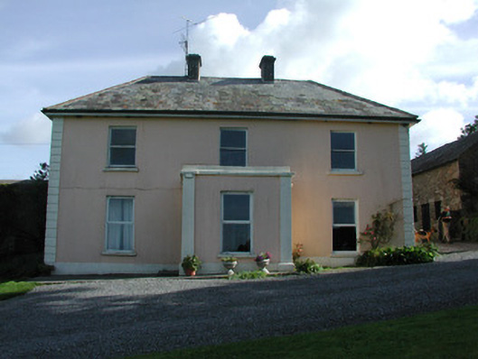 Pigeonstown Housefarm house · 840 yd
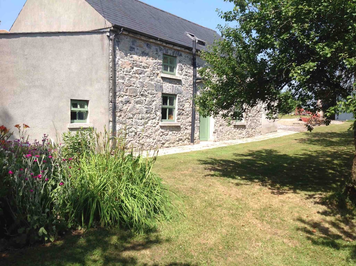 Pigeonstown WoodForest · 884 yd
 Kinnitty Castle LoopWalking route · 1100 yd
 Castle (Site of)Castle, unclassified · 1105 yd
 Enclosure in LackaroeEnclosure · 1118 yd
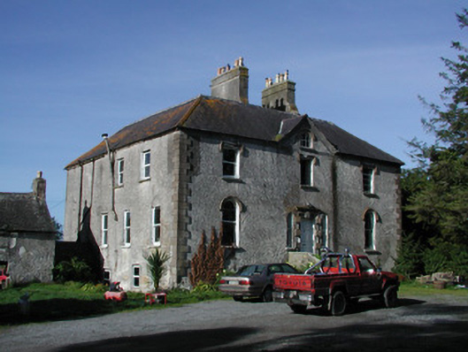 Lettybrook Housecountry house · 1318 yd
 Stone CrossCross, High cross (present location) · 1352 yd
 Castletown and GlinskVisitor information · 1355 yd
 OutlinedCastle, motte · 1493 yd
 Slieve Bloom Mountain Bike TrailVisitor information · 1509 yd
 Kinnitty ForestForest · 1683 yd
 Graveyard in LetterGraveyard · 1.3 mi