What is recorded here
Fairy fort in Pigeonstown, County Offaly: a destroyed ringfort reduced to a low flat-topped mound, twenty-nine and a half metres across and one metre seventy-five high, sitting in the foothills below the Slieve Bloom mountains. It still shows as a small circular enclosure on the 1912 map, though no wall or gate remains to mark the boundary. The earth may have swallowed the fort, or the fort may have surrendered its shape to rain, plough and time. Either way, the mound keeps the measure of a life that stopped being visible but did not stop existing.
Situated in the foothills of the Slieve Bloom mountains which are located to the S. Destroyed ringfort which now appears as a low irregular shaped flat topped mound (max. diam 29.5m N-S; max. H 1.75m). Hachured as small circular enclosure on the 1912 edition of the OS 6-inch map.
The above description is derived from the published 'Archaeological Inventory of County Offaly' (Dublin: Stationery Office, 1997). In certain instances the entries have been revised and updated in the light of recent research.
Date of upload: 23 May 2011
The monument record does not grant public access. Check the route and ask the landowner before entering private land.
- What survives
- Recorded monument
Places near here
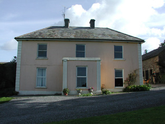 Pigeonstown Housefarm house · 509 yd
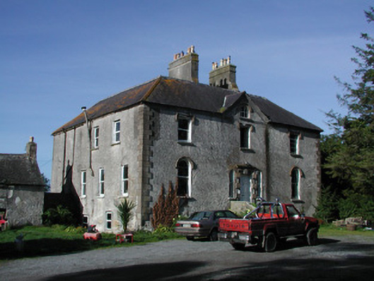 Lettybrook Housecountry house · 518 yd
 Enclosure in LackaroeEnclosure · 732 yd
 Stone CrossCross, High cross (present location) · 1400 yd
 Castletown and GlinskVisitor information · 1409 yd
 Kinnitty Castle LoopWalking route · 1568 yd
 Moneyguyneen WoodWood · 1620 yd
 Slieve Bloom Mountain Bike TrailVisitor information · 1640 yd
 OutlinedCastle, motte · 1665 yd
 Kinnitty ForestForest · 1679 yd
 Castle (Site of)Castle, unclassified · 1.1 mi
 Graveyard in LetterGraveyard · 1.3 mi