What is recorded here
Situated on top of a high prominent hill in grassland, with excellent views in all directions. Ringfort (WM017-117---) 200m to SE. Depicted on the 1837 OS Fair Plan map as a small roughly circular shaped enclosure with some trees on the perimeter, annotated as a ‘fort’. This poorly preserved site has been partially levelled and has been much degraded. All that remains is a sub-circular shaped rise of ground defined by a scarp (approx. diam. 22m N-S; 20m E-W) enclosed by slight traces of an external fosse. Monument placed on the Register of Historic Monuments, Iris Oifigiúil, 11 February 1975.
Compiled by: Frank Coyne and Caimin O'Brien
Date of upload: 13 February 2018
The monument record does not grant public access. Check the route and ask the landowner before entering private land.
- What survives
- Recorded monument
Places near here
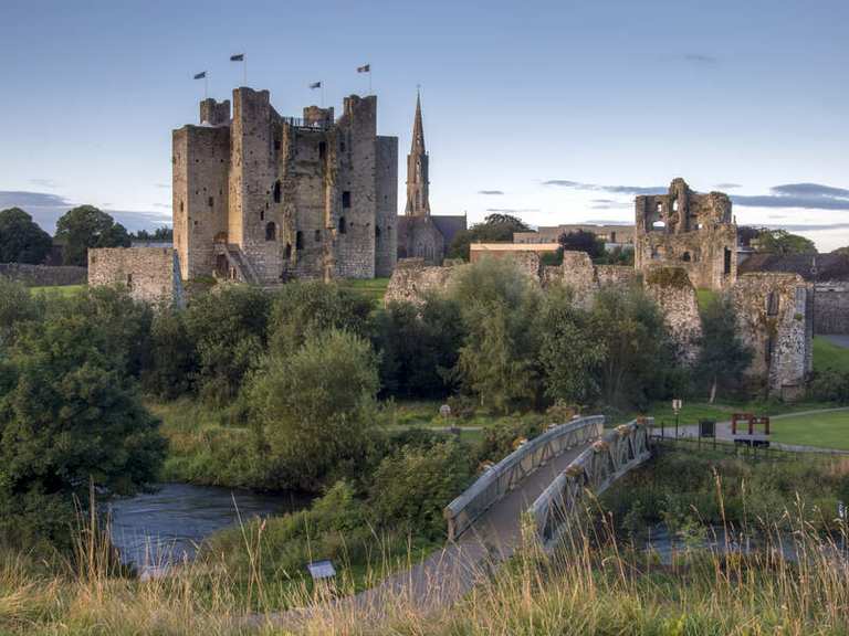 IndicatedFairy fort / earthen ringfort · 237 yd
 Church (in Ruins)Church · 424 yd
 OutlinedEnclosure · 737 yd
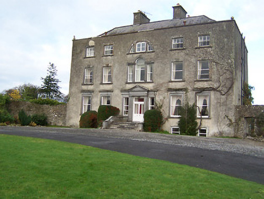 Mearscourt Housecountry house · 1364 yd
 Site of CastleCastle, unclassified · 1696 yd
 Sessile OakSessile Oak · 2.1 mi
 Common LimeCommon Lime · 2.7 mi
 Abbeyshrule AbbeyRuins · 2.8 mi
 Bawn in EmperBawn · 3.5 mi
 Craft WorkshopHeritage attraction · 4.2 mi
 Guest ServicesVisitor information · 4.3 mi
 Goldsmith Birthplace, PallasVisitor information · 4.3 mi