
What is recorded here
Circular-shaped enclosure hachured as a circular grove of trees on 1837 ed. OS 6-inch map. May be the remains of a ringfort which was reused as a tree-ring in the post-1700 period.
Compiled by: Caimin O'Brien based on details provided by Edmond O'Donovan
Date of upload: 30 October 2019
The monument record does not grant public access. Check the route and ask the landowner before entering private land.
- What survives
- Recorded monument
Places near here
 Partially indicatedFairy fort / ringfort · 252 yd
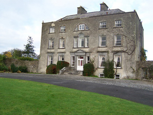 Mearscourt Housecountry house · 769 yd
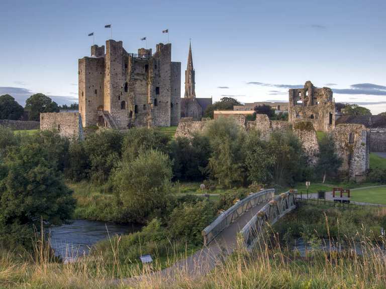 IndicatedFairy fort / earthen ringfort · 860 yd
 Church (in Ruins)Church · 983 yd
 Site of CastleCastle, unclassified · 1271 yd
 Sessile OakSessile Oak · 2.5 mi
 Ancient Ring FortWood · 2.8 mi
 Abbeyshrule AbbeyRuins · 3.1 mi
 Bawn in EmperBawn · 3.5 mi
 Craft WorkshopHeritage attraction · 4.6 mi
 Guest ServicesVisitor information · 4.7 mi
 Goldsmith Birthplace, PallasVisitor information · 4.7 mi
Other information
Photo: Credit not shown in the picture search · Rights wording not checked; contact us if this picture should be removed