What is recorded here
In fallow tillage, on a W-facing slope, just above a 500ft contour. Another bivallate ringfort (TS062-097----) lies c. 300m to the S. It is depicted on the 1903-04 ed. OS 6-inch map as a substantial circular enclosure (int. diam. c. 35-40m; overall diam. c. 100m) with a tertiary road running N-S along the W edge. According to Cahill (1982) a field inspection in 1975 found this monument in 'good condition [with] two banks [and] two ditches'. However the monument had been levelled by 1995 as aerial photographs (OS 1995; ASIAP (39) 12-20, 03/08/1996) show the ringfort as a circular cropmark with two clear fosses. The plough soil is notably more stony in the area of the monument, which is not visible at ground level.
Compiled by: Jean Farrelly
Date of upload: 26 August 2011
The monument record does not grant public access. Check the route and ask the landowner before entering private land.
- What survives
- Recorded monument
Places near here
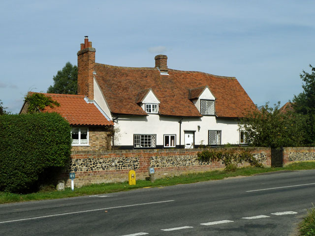 St. James WellHoly well · 165 yd
 Peppardstown Househouse · 255 yd
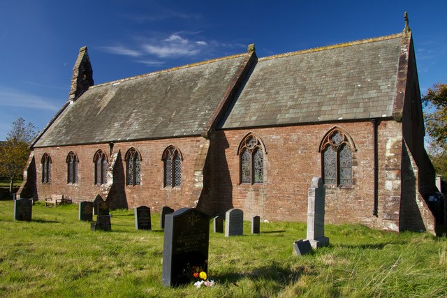 Site of St. James ChurchChurch · 340 yd
 Saint Johnstown CastleCastle · 1724 yd
 St. Johnstown ChurchChurch · 1741 yd
 Knockkelly CastleCastle · 1.2 mi
 Kilknockan HillMountain / peak · 2.4 mi
 Eagle HillMountain / peak · 2.5 mi
 East GateMemorial · 3.5 mi
 European YewEuropean Yew · 3.6 mi
 Grove WoodForest · 4.4 mi
 Gobban Saer's GraveArchaeological place · 7.0 mi