What is recorded here
Situated on top of a natural hillock surrounded by undulating grassland. Ringfort (WM012-064---) 60m to SW. A sub-circular shaped area (approx. diam. 34m ENE-WSW) enclosed by a poorly preserved earthen bank and a narrow shallow steep external fosse. The S and E portion of the site has been impacted by quarrying. The interior rises towards the centre where large sub-rectangular house site (WM012-066001-) is visible. A field fence forms part of the perimeter of the monument from NW-N- NNE which serves as the townland boundary with Martinstown.
See attached profile of monument surveyed and drawn by the ASI.
Compiled by: Frank Coyne and Caimin O'Brien
Date of upload: 15 February 2018
The monument record does not grant public access. Check the route and ask the landowner before entering private land.
- What survives
- Recorded monument
Places near here
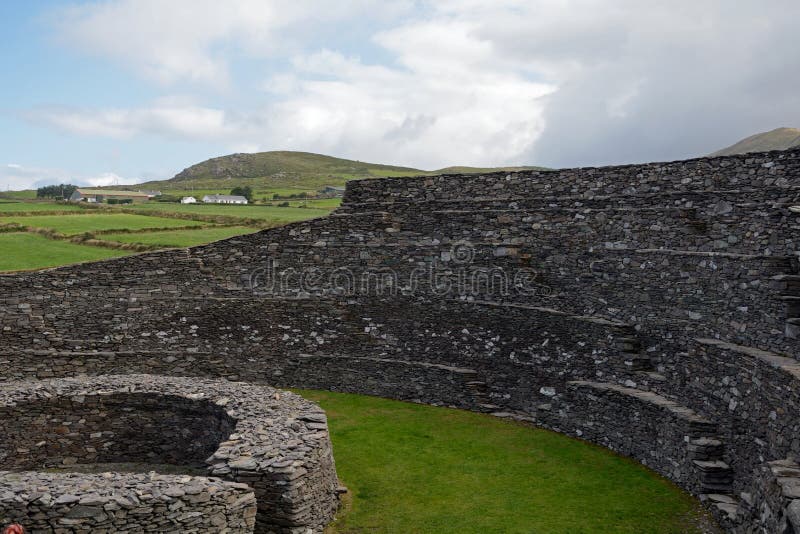 Ancient Ring FortRuins · 698 yd
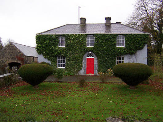 Martinstown Househouse · 824 yd
 OutlinedFairy fort / earthen ringfort · 1340 yd
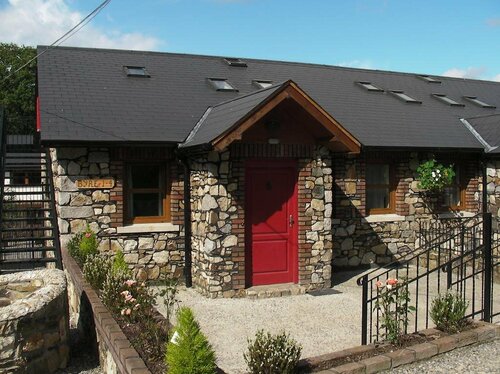 Hachured, RathmoreFairy fort / earthen ringfort · 1.1 mi
 Taghmon CastleCastle, tower house · 1.4 mi
 Knockdrin CastleCastle · 1.7 mi
 KnockeyonMountain / peak · 1.8 mi
 Long PlantingForest · 2.3 mi
 Scragh Bog Nature ReserveNature reserve · 2.7 mi
 Church IslandIsland · 3.5 mi
 Saint Brigid's WellSpring · 3.9 mi
 Bridge Memorial (Kenna)Memorial · 4.2 mi