What is recorded here
Situated on NE facing slope of a high ridge in an area of wet grassland, overlooked by higher ridges and hills. The stream which marks the townland boundary with Knockatee lies 60m to E. Ringfort (WM012-130---) 260m to NW. A raised circular-shaped area (approx. diam. 42m E-W) enclosed by a well preserved earthen bank and deep external fosse. The bank is best preserved in the SE quadrant, and the fosse appears to have been deepened. There is an entrance gap (Wth 2.6m) and causeway across the fosse (Wth 5.4m; H 1m) at SSE. Traces of cultivation ridges are visible running ENE-WSW across the interior, which has a general slope from NW-SE. Field fences running NE-SW intersect the monument at NE and SW. The site is now enclosed by a modern forestry plantation which is visible on Digital Globe aerial photograph taken November 2011. Monument placed on the Register of Historic Monuments in 1989.
See attached profile of monument surveyed and drawn by the ASI.
Compiled by: Frank Coyne and Caimin O'Brien
Date of upload: 6 March 2018
The monument record does not grant public access. Check the route and ask the landowner before entering private land.
- What survives
- Recorded monument
Places near here
 Partially hachuredFairy fort / earthen ringfort · 494 yd
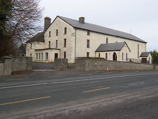 Catholic Church of the Assumptionchurch/chapel · 764 yd
 Ancient Ring FortRuins · 1089 yd
 Toberallen Church Yd.Churchyard · 1355 yd
 OutlinedCastle, tower house · 1.2 mi
 Knockdrin CastleCastle · 1.3 mi
 Long PlantingForest · 2.0 mi
 Scragh Bog Nature ReserveNature reserve · 2.8 mi
 Church IslandIsland · 3.5 mi
 Saint Brigid's WellSpring · 3.5 mi
 United Nations War MemorialMemorial · 4.1 mi
 Srudarra IslandIslet · 4.3 mi