What is recorded here
Situated at the top of the E-facing slope of a hill. The cropmark of a subcircular enclosure (diam. c. 30m) defined by a single fosse feature ath has an entrance gap at SSW is visible on aerial photographs (MM (2) 34-6; (51) 31-4).
The above description is derived from the published 'Archaeological Inventory of County Wexford' (Dublin: Stationery Office, 1996). In certain instances the entries have been revised and updated in the light of recent research.
Compiled by: Michael Moore
Date of upload/revision: 3 July, 2012
Amended: 2 May, 2014
The monument record does not grant public access. Check the route and ask the landowner before entering private land.
- What survives
- Recorded monument
Places near here
 Concentric enclosure in Park (bantry By.)Concentric enclosure · 428 yd
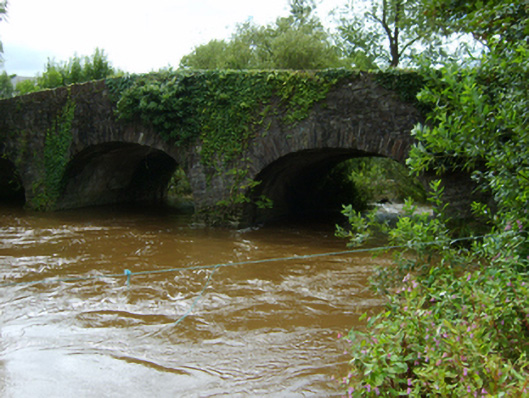 Ballynapierce Bridgebridge · 1375 yd
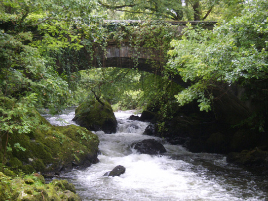 Victoria Bridgebridge · 1568 yd
 CastleCastle, ringwork · 1596 yd
 Wilton Ho.Castle, unclassified · 1616 yd
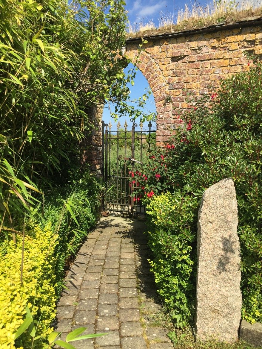 Enclosure in BorrmountEnclosure · 1705 yd
 Dick Joynt MemorialMemorial · 1.9 mi
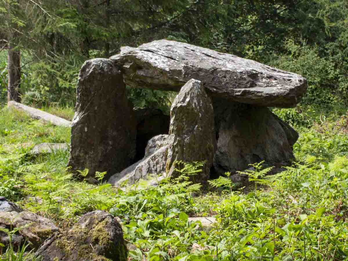 Bree HillMountain / peak · 2.0 mi
 National 1798 CentreMuseum · 2.7 mi
 Battle of Vinegar HillMajor battlefield · 3.0 mi
 Duffry GateMemorial · 3.0 mi
 Raheennahoon HillMountain / peak · 4.2 mi