What is recorded here
Fairy fort / earthen ringfort in Parcellstown (moygoish By.) is a fairy fort or earthen ringfort in Parcellstown (moygoish By.), County Westmeath, Ireland. The 1975 survey described it as an oval-shaped area measuring 29 metres north-south and 28 metres east-west, enclosed by two earthen banks with an intervening wide and shallow fosse. The inner bank rises slightly above the interior but is higher on the exterior, while the outer bank is low and slight, with no entrance recognisable. This monument appears on the 1837 Ordnance Survey map as a circular earthwork and on the revised 1913 map as a much smaller oval-shaped earthwork.
Situated on top of a slight rise, in relatively low-lying pasture, surrounded by gently undulating terrain. This area appears to have been liable to floods prior to drainage in the 1970s. A possible barrow (WM018-076----) lies c. 10m to SE. Depicted on the 1837 ed. OS 6-inch map as a circular-shaped earthwork. Depicted on the revised 1913 ed. OS 25-inch map as a much smaller oval-shaped earthwork. Monument described in 1975 as an oval-shaped area (29m N-S; 28m E-W) enclosed by two earthen banks with an intervening fosse. The inner bank is low and rises slightly above the interior but is higher on the exterior. The fosse is wide and shallow. The outer bank is also low and slight. No entrance is recognisable. Monument is visible as a roughly oval-shaped earthwork on Digital Globe aerial photography.
Compiled by: Alison McQueen, Vera Rahilly and Caimin O’Brien
Date of upload: 05 February 2019
The monument record does not grant public access. Check the route and ask the landowner before entering private land.
- What survives
- Recorded monument
Places near here
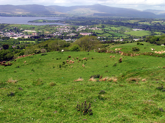 Partially hachuredFairy fort / earthen ringfort · 422 yd
 OutlinedFairy fort / earthen ringfort · 638 yd
 28th Lock Keep's HouseRuins · 1125 yd
 27th Lock Keep's HouseRuins · 1266 yd
 WestmeathVisitor information · 1312 yd
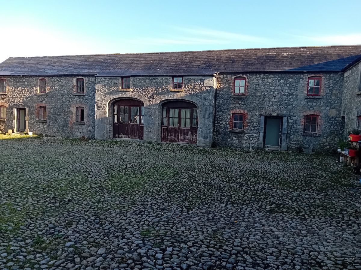 Bawn in BalleagnyBawn · 1.0 mi
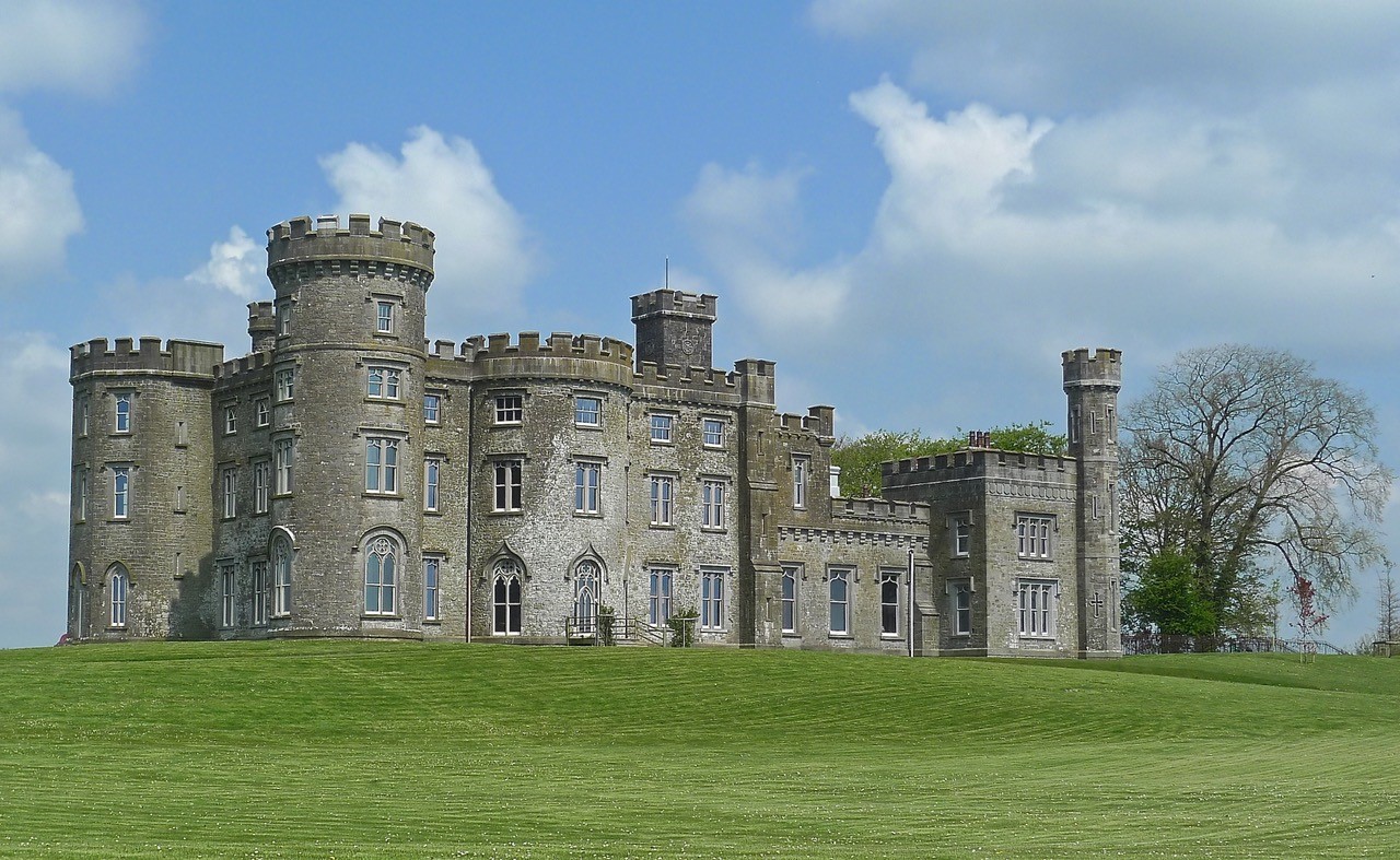 CastleHouse, fortified house · 1.7 mi
 Carrickphilbin IslandIslet · 2.7 mi
 Ancient Ring FortWood · 3.1 mi
 Srudarra IslandIslet · 3.2 mi
 Baronstown ForestWood · 4.5 mi
 Hill of UisneachMountain / peak · 5.6 mi