What is recorded here
You can still walk the inner ring of that Galway paddock, where a swollen earth bank and a broken scarp enclose twenty-six metres of forgotten life. The outer defence has mostly surrendered to the field, leaving a ghost line where human hands once stacked soil against the dark. It is not a fairy tale, though the name suggests one; it is a human fort that time has half-erased.
On the brow of a hill in rolling grassland. Circular rath (D 26m), in fair condition, defined by two banks and intervening fosse. The inner bank is present from SW through W to N; elsewhere a scarp forms the enclosing element. No visible surface trace of the outer bank survives from N to NE where a field bank abuts the monument. (Neary 1914, 122, no. 127)
The above description is derived from the published 'Archaeological Inventory of County Galway Vol. II - North Galway'. Compiled by Olive Alcock, Kathy de hÓra and Paul Gosling (Dublin: Stationery Office, 1999).
Date of upload: 05 August 2010
The monument record does not grant public access. Check the route and ask the landowner before entering private land.
- What survives
- Recorded monument
Places near here
 Mill FortArchaeological place · 982 yd
 Enclosure in CarrowculleenEnclosure · 1155 yd
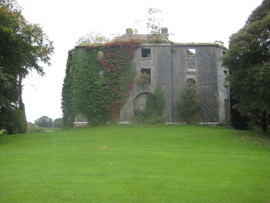 Dunmore Housecountry house · 1.7 mi
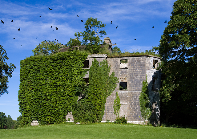 Country house in Dunmore DemesneCountry house · 1.8 mi
 Dunmore CastleCastle · 2.1 mi
 Site of Doonbally CastleCastle, unclassified · 2.3 mi
 European ashEuropean ash · 6.4 mi
 Mass RockNamed rock · 8.3 mi
 KnockmaaWood · 11 mi
 Enclosure in CarrowntrylaEnclosure · 1.3 mi
 Enclosure in Carrowrevagh MoreEnclosure · 1.5 mi
 IndicatedEnclosure · 1.7 mi